
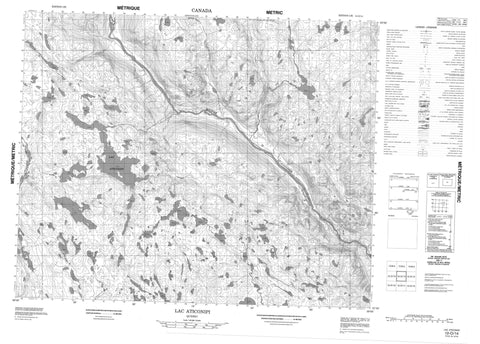
012O14 Lac Aticonipi Canada topo map, 1:50,000 scale
012O14 Lac Aticonipi NRCAN topographic map.
Includes UTM and GPS geographic coordinates (latitude and longitude). This 50k scale map is suitable for hiking, camping, and exploring, or you could frame it as a wall map.
Printed on-demand using high resolution, on heavy weight and acid free paper, or as an upgrade on a variety of synthetic materials.
Topos available on paper, Waterproof, Poly, or Tyvek. Usually shipping rolled, unless combined with other folded maps in one order.
- Product Number: NRCAN-012O14
- Parent Topo: TOPO-012O
- Map ID also known as: 012O14, 12O14
- Unfolded Size: Approximately 26" high by 36" wide
- Weight (paper map): ca. 55 grams
- Map Type: POD NRCAN Topographic Map
- Map Scale: 1:50,000
- Geographical region: Newfoundland and Labrador, Canada
Neighboring Maps:
All neighboring Canadian topo maps are available for sale online at 1:50,000 scale.
Purchase the smaller scale map covering this area: Topo-012O
Spatial coverage:
Topo map sheet 012O14 Lac Aticonipi covers the following places:
- Lac Aticonipi - Lac Bryant - Lac Hinipeht Takuakapun - Lac Kamahkuhiu - Lac Kauskatakakamat - Lac Uhahameku - Rapides Uatshahkunipiu - Rivière Northwest - Rivière Saint-Augustin - Rivière Saint-Augustin Nord-Ouest - Ruisseau Tshashumeuk - Ruisseau Uhakameku - Portage Sheueketshu - Utshimauat Katipaitsheht Kauitshiht


