
012I14 St John Island Canada topo map, 1:50,000 scale
012I14 St John Island NRCAN topographic map.
Includes UTM and GPS geographic coordinates (latitude and longitude). This 50k scale map is suitable for hiking, camping, and exploring, or you could frame it as a wall map.
Printed on-demand using high resolution, on heavy weight and acid free paper, or as an upgrade on a variety of synthetic materials.
Topos available on paper, Waterproof, Poly, or Tyvek. Usually shipping rolled, unless combined with other folded maps in one order.
- Product Number: NRCAN-012I14
- Parent Topo: TOPO-012I
- Map ID also known as: 012I14, 12I14
- Unfolded Size: Approximately 26" high by 36" wide
- Weight (paper map): ca. 55 grams
- Map Type: POD NRCAN Topographic Map
- Map Scale: 1:50,000
- Geographical region: Newfoundland and Labrador, Canada
Neighboring Maps:
All neighboring Canadian topo maps are available for sale online at 1:50,000 scale.
Purchase the smaller scale map covering this area: Topo-012I
Spatial coverage:
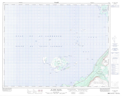
Topo map sheet 012I14 St John Island covers the following places:
- Bad Harbour - Barred Bay - Bustard Cove - Golfe du Saint-Laurent - Good Bay - Gulf of St. Lawrence - Maldigues Bay - Miot Cove - Oakbark Cove - Old Man Cove - Round Head Cove - Sesostris Bay - Shorts Harbour - South Cove - St. John Bay - St. John Harbour - The Haven - The Haven - Turret Bay - Well Bay - Bare Point - Chasseur Point - English Point - Fish Point - Flat Point - Fossil Point - Horn Spit - Hunters Point - Long Point - Menhir Point - Northern Peninsula - Oakbark Point - Photograph Point - Pigasses Point - Round Head - Round Head Point - Stormy Point - Turret Point - Well Point - Black Island - Castor Point Island - Dolman Island - Flat Island - Fox Islands - Green Island - Hare Island - Horn Island - James Island - Round Head Island - Sheep Island - St. John Island - Turr Islands - Twin Islands - Whale Islands - White Island - Young Whale Island - Highlands of St. John - Long Range Mountains - North Summit - South Summit - Doctors Brook - Frenchman's Brook - Greta Brook - Bayot Shoal - Breton Reef - Cloué Shoal - Coombe Rock - Coral Bank - Cornish Patch - Ellinor Shoals - Evangeline Rock - Falaise Shoal - Fossil Shoal - Freycinet Shoal - Fullerton Bank - Garbett Shoal - Gibson Shoal - Hinman Shoal - Home Shoal - McDonald Shoal - Old Boy Shoals - Old Man Shoal - O'Rourke Shoal - Oursin Shoal - Passage Shoals - Reculoux Shoal - Round Head Rock - Round Head Shoal - Rupert Jones Shoal - Seal Rocks - Square Rock - Tail of the Wolf - Testu Bank - The Calculus Rock - The Fox - The Menhir - The Watchman - Turret Rocks - Wolf Rock - Barr'd Harbour - Eddies Cove West - Eddird Cove West - St. John Island


