
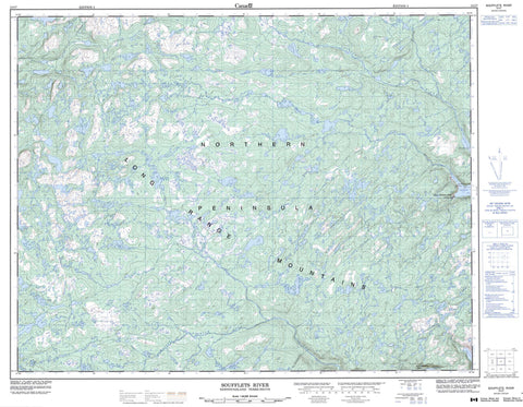
012I07 Soufflets River Canada topo map, 1:50,000 scale
012I07 Soufflets River NRCAN topographic map.
Includes UTM and GPS geographic coordinates (latitude and longitude). This 50k scale map is suitable for hiking, camping, and exploring, or you could frame it as a wall map.
Printed on-demand using high resolution, on heavy weight and acid free paper, or as an upgrade on a variety of synthetic materials.
Topos available on paper, Waterproof, Poly, or Tyvek. Usually shipping rolled, unless combined with other folded maps in one order.
- Product Number: NRCAN-012I07
- Parent Topo: TOPO-012I
- Map ID also known as: 012I07, 12I7, 12I07
- Unfolded Size: Approximately 26" high by 36" wide
- Weight (paper map): ca. 55 grams
- Map Type: POD NRCAN Topographic Map
- Map Scale: 1:50,000
- Geographical region: Newfoundland and Labrador, Canada
Neighboring Maps:
All neighboring Canadian topo maps are available for sale online at 1:50,000 scale.
Purchase the smaller scale map covering this area: Topo-012I
Spatial coverage:
Topo map sheet 012I07 Soufflets River covers the following places:
- Little Harbour Deep - Northeast Arm - Northwest Bottom - Pigeonnière Arm - Sault Arm - Southwest Bottom - Union Cove - Fish Point - Northern Peninsula - Observatory Point - Pigeon Point - Plate Point - The Point - Ben Hynes Pond - Big Pond on the Line - Carbon Pond - Crooked Pond - Crossover Pond - Fish Pond - Gull Pond - Horseshoe Pond - Jaw Bone Pond - Kilometre Pond - Lake Michel - Northern Rocky Steadies - Ocean Ponds - Plane Pond - Pond in the Hole - Pond on the Ridge - Powder Horn Pond - Punishment Pond - Riverhead Pond - Rocky Pond - Rocky Steadies - Round Pond - Sams Pond - Skin Ass Pond - Squid Jigging Pond - Straits Pond - Sure Shot Pond - Tear Drop Pond - Ten Mile Pond - Ugly Pond - Wigwam Ponds - Long Range Mountains - Nuddick Ridge - Big Pond Eastern Fork - Big Pond Western Fork - Boundary Brook - Feeder Brook - Herbs Brook - Little Harbour Deep River - Main Brook - Neds Brook - Outside Brook - Soufflets River - The Feeder - Portage Road - Ride Away - Emeraude Shoal - Great Harbour Deep - Harbour Deep - Little Harbour Deep - Pittmans Gulch - Berry Barrens - Big Marshes - Copper Barren - Ocean Pond Barrens


