
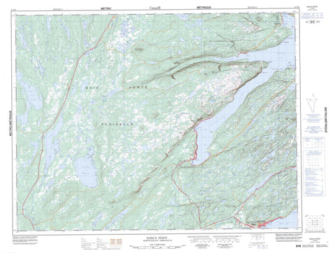
012H09 King s Point Canada topo map, 1:50,000 scale
012H09 King s Point NRCAN topographic map.
Includes UTM and GPS geographic coordinates (latitude and longitude). This 50k scale map is suitable for hiking, camping, and exploring, or you could frame it as a wall map.
Printed on-demand using high resolution, on heavy weight and acid free paper, or as an upgrade on a variety of synthetic materials.
Topos available on paper, Waterproof, Poly, or Tyvek. Usually shipping rolled, unless combined with other folded maps in one order.
- Product Number: NRCAN-012H09
- Parent Topo: TOPO-012H
- Map ID also known as: 012H09, 12H9, 12H09
- Unfolded Size: Approximately 26" high by 36" wide
- Weight (paper map): ca. 55 grams
- Map Type: POD NRCAN Topographic Map
- Map Scale: 1:50,000
- Geographical region: Newfoundland and Labrador, Canada
Neighboring Maps:
All neighboring Canadian topo maps are available for sale online at 1:50,000 scale.
Purchase the smaller scale map covering this area: Topo-012H
Spatial coverage:
Topo map sheet 012H09 King s Point covers the following places:
- Birchy Cove - Corner Brook Cove - Green Bay - Halls Bay - Island Rock Cove - Jackson's Cove - Little Bay - Lower Island Rock Cove - Middle Arm - Northwest Arm - Northwest Arm - Shilly Cove - Southwest Arm - Western Arm - Winterhouse Cove - Baie Verte Peninsula - Birchy Cove Head - King's Point - Manful Point - Middle Arm Point - Southwest Head - Western Point - White Point - Anticosti Island - Île d'Anticosti - Lower Island - Upper Island - Bartletts Pond - Big Deer Pond - Browns Pond - Clam Pond - Cross Country Pond - Cross Country Pond - Davis Pond - Deer Pond - Fox Pond - Gossard Pond - Gull Pond - Jacks Pond - Ketches Pond - Kidney Pond - Kittys Pond - Lady Pond - Lady Pond - Line Pond - Little Flat Water Pond - Micmac Lake - Mistaken Pond - Pine Pond - Round Pond - Shoal Pond - Slink Pond - South West Pond - Sprucy Pond - Strugglers Pond - Trap Pond - Traverse Pond - Whales Back Pond - Wild Cove Pond - Wolverine Pond - Middle Arm Ridge - Stearin Peak - Sugar Loaves - White Hills - Black Brook - Burnt Berry Brook - Corner Brook - Davis Brook - Gull Brook - Harry Brook - Indian Brook - Micmac Brook - Middle Arm Brook - Ovals Brook - Paddys Brook - Rattling Brook - Saunders Brook - South Brook - Southwest Brook - West Brook - Fishing Rock - Stearin Rock - Burlington - Green Bay Middle Arm - King's Point - Middle Arm - Springdale - Birchy Cove - Jackson's Cove - Jackson's Cove-Langdon's Cove-Silverdale - Rattling Brook - St. Patricks - St. Patrick's - Winterhouse Cove


