
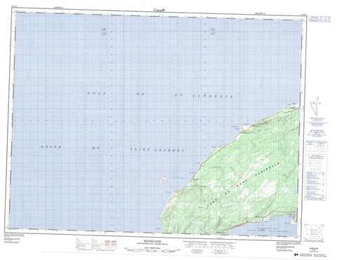
012B11 Mainland Canada topo map, 1:50,000 scale
012B11 Mainland NRCAN topographic map.
Includes UTM and GPS geographic coordinates (latitude and longitude). This 50k scale map is suitable for hiking, camping, and exploring, or you could frame it as a wall map.
Printed on-demand using high resolution, on heavy weight and acid free paper, or as an upgrade on a variety of synthetic materials.
Topos available on paper, Waterproof, Poly, or Tyvek. Usually shipping rolled, unless combined with other folded maps in one order.
- Product Number: NRCAN-012B11
- Parent Topo: TOPO-012B
- Map ID also known as: 012B11, 12B11
- Unfolded Size: Approximately 26" high by 36" wide
- Weight (paper map): ca. 55 grams
- Map Type: POD NRCAN Topographic Map
- Map Scale: 1:50,000
- Geographical region: Newfoundland and Labrador, Canada
Neighboring Maps:
All neighboring Canadian topo maps are available for sale online at 1:50,000 scale.
Purchase the smaller scale map covering this area: Topo-012B
Spatial coverage:
Topo map sheet 012B11 Mainland covers the following places:
- Big Cove - Clam Bank Cove - Golfe du Saint-Laurent - Gulf of St. Lawrence - Lower Cove - Red Island Road - Salmon Cove - Sheaves Cove - St. George's Bay - Three Rock Cove - Cape Cormorant - Crow Head - Low Point - Pigeon Head - Point Les Vaches - Port au Port Peninsula - Red Point - Round Head - Sheaves Head - Three Rock Point - Red Island - Verd - White Hills - Big Cove Brook - Cointres Brook - Falls Brook - Harry Brook - Lourdes Brook - Mainland Brook - Red Brook - Three Rock Cove Brook - Victor Brook - Victors Brook - Cow Rocks - Sea Mouse Rocks - The Ridge - White Rock - Cape St. George - Cape St. George-Petit Jardin-Grand Jardin-De Grau-Marches Point-Loretto - Lourdes - Loretto - Lower Cove - Mainland - Marches Point - Sheaves Cove - Ship Cove-Lower Cove - Ship Cove-Lower Cove-Jerry's Nose - Three Rock Cove


