
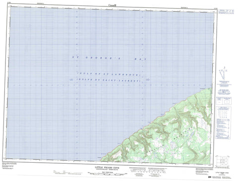
012B03 Little Friars Cove Canada topo map, 1:50,000 scale
012B03 Little Friars Cove NRCAN topographic map.
Includes UTM and GPS geographic coordinates (latitude and longitude). This 50k scale map is suitable for hiking, camping, and exploring, or you could frame it as a wall map.
Printed on-demand using high resolution, on heavy weight and acid free paper, or as an upgrade on a variety of synthetic materials.
Topos available on paper, Waterproof, Poly, or Tyvek. Usually shipping rolled, unless combined with other folded maps in one order.
- Product Number: NRCAN-012B03
- Parent Topo: TOPO-012B
- Map ID also known as: 012B03, 12B3, 12B03
- Unfolded Size: Approximately 26" high by 36" wide
- Weight (paper map): ca. 55 grams
- Map Type: POD NRCAN Topographic Map
- Map Scale: 1:50,000
- Geographical region: Newfoundland and Labrador, Canada
Neighboring Maps:
All neighboring Canadian topo maps are available for sale online at 1:50,000 scale.
Purchase the smaller scale map covering this area: Topo-012B
Spatial coverage:
Topo map sheet 012B03 Little Friars Cove covers the following places:
- Golfe du Saint-Laurent - Gulf of St. Lawrence - Hynes Cove - Johnson's Cove - Little Friars Cove - Mary Ann's Cove - St. George's Bay - Wreck Cove - Lewis Point - The Spout Falls - Anguille Mountains - Cape Anguille Mountains - Big Brook - Gull's Nest Rock - Old Bone-em - Hynes Gulch - Johnson's Gulch - Lewis Gulch - Pauls Gulch - The Spout Gulch


