
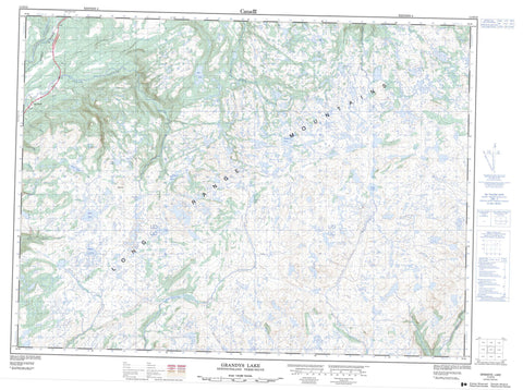
011O15 Grandys Lake Canada topo map, 1:50,000 scale
011O15 Grandys Lake NRCAN topographic map.
Includes UTM and GPS geographic coordinates (latitude and longitude). This 50k scale map is suitable for hiking, camping, and exploring, or you could frame it as a wall map.
Printed on-demand using high resolution, on heavy weight and acid free paper, or as an upgrade on a variety of synthetic materials.
Topos available on paper, Waterproof, Poly, or Tyvek. Usually shipping rolled, unless combined with other folded maps in one order.
- Product Number: NRCAN-011O15
- Parent Topo: TOPO-011O
- Map ID also known as: 011O15, 11O15
- Unfolded Size: Approximately 26" high by 36" wide
- Weight (paper map): ca. 55 grams
- Map Type: POD NRCAN Topographic Map
- Map Scale: 1:50,000
- Geographical region: Newfoundland and Labrador, Canada
Neighboring Maps:
All neighboring Canadian topo maps are available for sale online at 1:50,000 scale.
Purchase the smaller scale map covering this area: Topo-011O
Spatial coverage:
Topo map sheet 011O15 Grandys Lake covers the following places:
- Burnt Island Pond - Dingwells Pond - Doughball Pond - Eddies Pond - Gillams Pond - Grandys Lake - Hammonds Pond - Kangaroo Pond - Long Pond - Moose Pond - Sandy Pond - Sandy Pond - Star Pond - Long Range Mountains - Stag Hill - Newfoundland T'Railway Provincial Park - Garia Brook - Grandys Brook - Isle aux Morts River - Johns Brook - Little Codroy River - Mollichignick Brook - Muises Brook - North Branch - Northwest Brook - Northwest Brook - Rose Blanche Brook - South Branch - Stephens Brook - Coal Brook


