
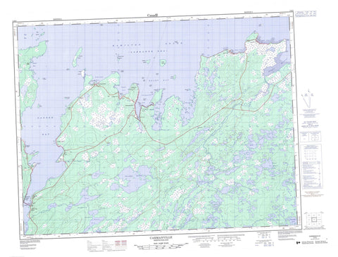
002E08 Carmanville Canada topo map, 1:50,000 scale
002E08 Carmanville NRCAN topographic map.
Includes UTM and GPS geographic coordinates (latitude and longitude). This 50k scale map is suitable for hiking, camping, and exploring, or you could frame it as a wall map.
Printed on-demand using high resolution, on heavy weight and acid free paper, or as an upgrade on a variety of synthetic materials.
Topos available on paper, Waterproof, Poly, or Tyvek. Usually shipping rolled, unless combined with other folded maps in one order.
- Product Number: NRCAN-002E08
- Parent Topo: TOPO-002E
- Map ID also known as: 002E08, 02E8, 2E8, 02E08, 2E08
- Unfolded Size: Approximately 26" high by 36" wide
- Weight (paper map): ca. 55 grams
- Map Type: POD NRCAN Topographic Map
- Map Scale: 1:50,000
- Geographical region: Newfoundland and Labrador, Canada
Neighboring Maps:
All neighboring Canadian topo maps are available for sale online at 1:50,000 scale.
Purchase the smaller scale map covering this area: Topo-002E
Spatial coverage:
Topo map sheet 002E08 Carmanville covers the following places:
- Aspen Cove - Carmanville Arm - Dog Bay - Dormans Cove - Eastern Arm - Frederickton Harbour - Gander Bay - Horwood Bay - Ladle Cove - Middle Arm - Noggin Cove - North West Arm - Ragged Harbour - Rocky Bay - Shoal Bay - South West Arm - Bussey's Point - Clark Point - Dog Bay Point - Dormans Point - Gaze Point - Ladle Point - Mann Point - Noggin Point - Ragged Point - Rocky Point - Tea Kettle Point - Tucks High Point - Twillick Point - White Point - Wings Point - Bloody Tickle - Bluey Islet - Boulder Islets - Dog Islands - Duck Island - Fox Island - Gander Island - Green Island - Ladle Island - Noggin Cove Islands - Noggin Island - Salt Island - Seal Islands - Storehouse Island - Tickle Island - White Island - Banting Lake - Barry's Ponds - Fifth Pond - First Pond - First Pond - Fourth Pond - Fourth Pond - Great Eastern Pond - Island Pond - Mann Pond - New Pond - Round Pond - Second Pond - Second Pond - Seven-Mile Pond - Shoal Pond - South Pond - Swallow Tail Pond - Third Pond - Third Pond - Beaver Hill - Dog Peak - Noggin Hill - Musgrave Harbour-Doting Cove - Barry's Brook - Gander Bay Brook - Gander River - Noggin Cove Brook - Ragged Harbour River - Gill Bird Rock - Hound Rock - Lady Rock - Lord Rock - Noggin Sunkers - Noggins Sunkers - Paytrick Rock - Wabby Rock - Carmanville - Musgrave Harbour - Aspen Cove - Beaver Cove - Carmanville South - Clarke's Head - Davidsville - Frederickton - Gander Bay - Gander Bay North - Gander Bay South - Gander Bay South - Harris Point - Ladle Cove - Main Point - Main Point-Davidsville - Mann Point - Noggin Cove - Pinsent - Tims Harbour - Victoria Cove - Wings Point - Philips Marsh


