
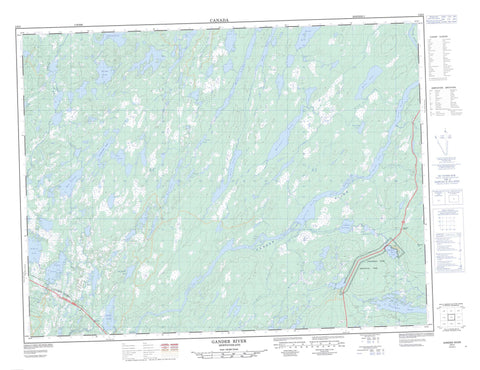
002E02 Gander River Canada topo map, 1:50,000 scale
002E02 Gander River NRCAN topographic map.
Includes UTM and GPS geographic coordinates (latitude and longitude). This 50k scale map is suitable for hiking, camping, and exploring, or you could frame it as a wall map.
Printed on-demand using high resolution, on heavy weight and acid free paper, or as an upgrade on a variety of synthetic materials.
Topos available on paper, Waterproof, Poly, or Tyvek. Usually shipping rolled, unless combined with other folded maps in one order.
- Product Number: NRCAN-002E02
- Parent Topo: TOPO-002E
- Map ID also known as: 002E02, 02E2, 2E2, 02E02, 2E02
- Unfolded Size: Approximately 26" high by 36" wide
- Weight (paper map): ca. 55 grams
- Map Type: POD NRCAN Topographic Map
- Map Scale: 1:50,000
- Geographical region: Newfoundland and Labrador, Canada
Neighboring Maps:
All neighboring Canadian topo maps are available for sale online at 1:50,000 scale.
Purchase the smaller scale map covering this area: Topo-002E
Spatial coverage:
Topo map sheet 002E02 Gander River covers the following places:
- Bellman's Pond - Big Pond - Brinks Pond - Burnt Lake - Consideration Pond - Constant Pond - Dans Pond - Dildo Pond - First Pond - Fourth Pond - Fox Pond - Island Pond - Island Pond - Jonathans First Pond - Jonathan's Pond - Jonathans Second Pond - Jonathans Third Pond - Little Rocky Pond - Little Salmon Pond - Long Pond - Long Pond - O'Brien Lake - Penny's Pond - Rocky Pond - Rocky Pond - Salmon Pond - Second Pond - South Pond - Ten Mile Lake - Third Pond - Twin Ponds - Jonathan's Pond Provincial Park - Newfoundland T'Railway Provincial Park - Bellman's Brook - Gander River - Indian Arm Brook - Island Pond Brook - Joe Batts Brook - Jonathan's Brook - Jumper Brook - Millers Brook - Salmon River - Weir's Brook - Appleton - Gander - Glenwood - Lake O'Brien - O'Brien


