
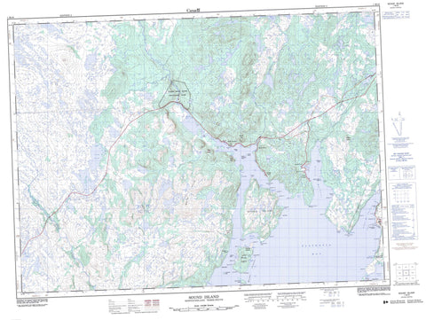
001M16 Sound Island Canada topo map, 1:50,000 scale
001M16 Sound Island NRCAN topographic map.
Includes UTM and GPS geographic coordinates (latitude and longitude). This 50k scale map is suitable for hiking, camping, and exploring, or you could frame it as a wall map.
Printed on-demand using high resolution, on heavy weight and acid free paper, or as an upgrade on a variety of synthetic materials.
Topos available on paper, Waterproof, Poly, or Tyvek. Usually shipping rolled, unless combined with other folded maps in one order.
- Product Number: NRCAN-001M16
- Parent Topo: TOPO-001M
- Map ID also known as: 001M16, 01M16, 1M16
- Unfolded Size: Approximately 26" high by 36" wide
- Weight (paper map): ca. 55 grams
- Map Type: POD NRCAN Topographic Map
- Map Scale: 1:50,000
- Geographical region: Newfoundland and Labrador, Canada
Neighboring Maps:
All neighboring Canadian topo maps are available for sale online at 1:50,000 scale.
Purchase the smaller scale map covering this area: Topo-001M
Spatial coverage:
Topo map sheet 001M16 Sound Island covers the following places:
- Arnold's Cove - Back Cove - Baker Cove - Bittern Cove - Bob Spirer Cove - Brinsen Cove - Brinson Cove - Caplin Cove - Catens Cove - Clay Cove - Come By Chance - Coopers Cove - Darby Cove - Doughboy Cove - Goose Cove - Hardy Cove - Holletts Cove - Jean Cove - Jeffrey Cove - La Plante Cove - Maggotty Cove - Middle Cove - Mooring Rock Cove - Muddy Hole - North Harbour - Old Cove - Placentia Bay - Soldiers Cove - Swift Current - Wreck Cove - Long Beach - Red Beach - Adams Head - Allens Point - Baker Point - Barachois Head - Barretts Point - Big Head - Big Head - Bloody Point - Brimstone Point - Cape Pine - Come By Chance Point - Coopers Head - Emberly Point - Fox Head - Gilberts Point - Goat Point - Grassy Point - Holletts Point - Long Point - North Harbour Point - Otter Point - Pearce Head - Placentia Mans Point - Pope Point - Sandy Point - Shepherd Point - Sound Island Point - South Point - Southern Head - Spencer Point - Staceys Point - Upper Sandy Point - Whiffin Head - White Point - Winging Head - Devils Chimney - Come by Chance Gut - Come By Chance Gut - Creve Islets - Crévè Islets - Little Woody Island - Mouse Islet - Sall the Maid Island - Sound Island - Sugarloaf Islet - Vicuna Island - Woody Island - Woody Islands - Black River Pond - Black River Pond - Butt Pond - Feeder Ponds - Long Pond - Sock Pond - Bears Folly - Cannon Hill - Grip Nest - Jonathan Lookout - Powder Horn Hill - Powder Horn Hills - Powderhorn Hill - Toby Lookout - White Hills - Pipers Hole River Provincial Park - Black River - Darby Creek - Mothers Brook - North Harbour River - Paradise River - Pipers Hole River - Rattling Brook - Sandy Harbour River - Wigman Brook - Big Shoal - Charley Rock - Hardy Rocks - La Plante Sunker - Long Beach Sunker - Martin Morrissey Rocks - Net Rock - Round Rock - The Ground - Woody Island Shoal - Arnold's Cove - Come By Chance - Come-by-Chance - Black River - Garden Cove - Goobies - Goose Cove - North Harbour - Soldier's Cove - Swift Current - Woody Island


