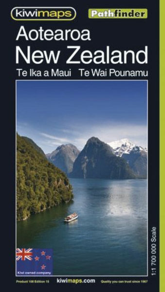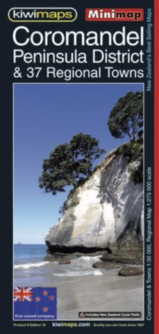
Coromandel Peninsula & Towns
Coromandel region in a series of maps covering various districts of New Zealand, with each title combining a detailed road map with street plans of local towns, all with road and street indexes. The maps are published in two formats: handy Pocket Maps or Pathfinders with, as the publishers put it “Larger print so you don’t squint”.
The road maps, typically around 1:175,000 - 1:275,000, show local roads and 4WD tracks. Main sightseeing routes across the country, such as the Pacific Road Highway or Thermal Explorer Highway, are identified by small icons. Railways, local airports and where appropriate, ferry routes are shown. The maps also include selected local hiking tracks. A range of symbols highlight various places of interest and sport or recreational facilities. Topography is indicated by names of mountain ranges and selected peaks. Colouring shows forested areas, with national parks and reserves highlighted. The maps have no geographical coordinates but each one has an index
- Product Number: KIWI_COROMAND_13
- Reference Product Number: - None -
- ISBN: 9415871000690
- Date of Publication: 2/1/2013
- Folded Size: 8.27 inches high by 3.94 inches wide
- Unfolded (flat) Size: 24.02 inches high by 16.93 inches wide
- Map format: Folded
- Map type: Trade Maps - Road
- Geographical region: New Zealand