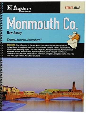
Monmouth County, New Jersey, Atlas by Kappa Map Group
The Monmouth County, NJ Atlas is a full-color street detail atlas covering Aberdeen, Asbury Park, Atlantic Highlands, Avon-by-the-Sea, Bay Head, Belmar, Bradley Beach, Brielle, Colts Neck, Eatontown, Fair Haven, Freehold, Hazlet, Highlands, Holmdel, Howell, Keansburg, Keyport, Little Silver, Long Branch, Manalapan, Manasquan, Marlboro, Matawan, Middletown, Millstone, Monmouth Beach, Neptune City, Neptune, Ocean, Oceanport, Point Pleasant, Point Pleasant Beach, Red Bank, Rumson, Sea Girt, Shrewsbury, Spring Lake, Spring Lake Heights, Tinton Falls, Union Beach, Upper Freehold, Wall & West Long Branch. Indexed.
- Product Number: 2143890
- Product Code: KMG_MONM_AT
- ISBN: 9780762582129
- Year of Publication: 2013
- Unfolded Size: 11.02 x 9.06 inches
- Map type: Atlas
- Geographical region: New Jersey

