
021P13 Pointe Verte Canada topo map, 1:50,000 scale
021P13 Pointe Verte NRCAN topographic map.
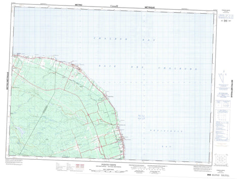
Includes UTM and GPS geographic coordinates (latitude and longitude). This 50k scale map is suitable for hiking, camping, and exploring, or you could frame it as a wall map.
Printed on-demand using high resolution, on heavy weight and acid free paper, or as an upgrade on a variety of synthetic materials.
Topos available on paper, Waterproof, Poly, or Tyvek. Usually shipping rolled, unless combined with other folded maps in one order.
- Product Number: NRCAN-021P13
- Parent Topo: TOPO-021P
- Map ID also known as: 021P13, 21P13
- Unfolded Size: Approximately 26" high by 36" wide
- Weight (paper map): ca. 55 grams
- Map Type: POD NRCAN Topographic Map
- Map Scale: 1:50,000
- Geographical region: New Brunswick, Canada
Neighboring Maps:
All neighboring Canadian topo maps are available for sale online at 1:50,000 scale.
Purchase the smaller scale map covering this area: Topo-021P
Spatial coverage:
Topo map sheet 021P13 Pointe Verte covers the following places:
- Baie de Chaleur - Baie des Chaleurs - Chaleur Bay - Nepisiguit Bay - Nipisiguit Bay - Belledune Point - Chapel Point - Elmtree Point - Limestone Point - Little Belledune Point - Pointe Rochette - Pointe Verte - Quinn Point - Trap Point - Beresford - Durham - Gloucester - Restigouche - Antinouri Lake - Belledune Lake - Belledune Pond - Boulay Pond - Étang du Sud - Haché Pond - Head of Elmtree Pond - Lac à la Truite - Lac à Paul - Lac Rond - Jacquet River Provincial Park - Antinouri Lake Brook - Armstrong Brook - Belledune River - Comeau Brook - Duncans Brook - Eel Brook - Ellis Brook - Elmtree River - Fournier Brook - Guitar Brook - Guitard Brook - Hendry Brook - Lake Brook - Little Elmtree River - Madisco Brook - Nigadoo River - Nigadoo River - Nigadu River - Nigadu River - North Branch Nigadoo River - North Nigadoo River - Patapat Brook - Petite Rivière aux Ormes - Prairie Brook - Quitard Creek - Rivière aux Ormes - Rivière aux Ormes Sud - Ruisseau à Eloi - Ruisseau à Émeric - Ruisseau de la Prairie - Ruisseau de l'Église - South Branch Elmtree River - Walker Brook - West Branch Fournier Brook - Seal Rocks - Alcida - Armstrong Brook - Armstrongs Brook - Becketville - Belledune - Belledune River - Belledune Station - Culligan - Culligan Siding - Dauversière - Devereaux - Elmtree - Green Point - Green Point - Guitar - Hodgin - Jacquet River - Jacquet River Station - Laplante - LaPlante - Madran - Mitchell Settlement - Petit Rocher - Petit Rocher Nord - Petit-Rocher-Nord - Petit-Rocher-Sud - Pointe Verte - Tremblay - Tremblay Settlement - Turgeon - Turgeon - Turgeon Station - Big Meadow - Doyles Meadow - Belledune - Petit Rocher - Petit-Rocher - Pointe-Verte


