
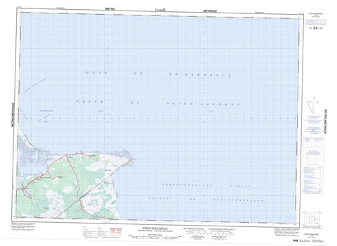
021P02 Point Escuminac Canada topo map, 1:50,000 scale
021P02 Point Escuminac NRCAN topographic map.
Includes UTM and GPS geographic coordinates (latitude and longitude). This 50k scale map is suitable for hiking, camping, and exploring, or you could frame it as a wall map.
Printed on-demand using high resolution, on heavy weight and acid free paper, or as an upgrade on a variety of synthetic materials.
Topos available on paper, Waterproof, Poly, or Tyvek. Usually shipping rolled, unless combined with other folded maps in one order.
- Product Number: NRCAN-021P02
- Parent Topo: TOPO-021P
- Map ID also known as: 021P02, 21P2, 21P02
- Unfolded Size: Approximately 26" high by 36" wide
- Weight (paper map): ca. 55 grams
- Map Type: POD NRCAN Topographic Map
- Map Scale: 1:50,000
- Geographical region: New Brunswick, Canada
Neighboring Maps:
All neighboring Canadian topo maps are available for sale online at 1:50,000 scale.
Purchase the smaller scale map covering this area: Topo-021P
Spatial coverage:
Topo map sheet 021P02 Point Escuminac covers the following places:
- Baie Sainte-Anne - Golfe du Saint-Laurent - Golfe Saint-Laurent - Gulf of St. Lawrence - Herring Cove - McLeans Cove - Miramichi Bay - Escuminac Beaches - Miramichi Beaches - Preston Beach - Long Point - Point Escuminac - Pointe des Prés - Sandy Point - Détroit de Northumberland - Fox Gully - Huckleberry Gully - Northumberland Strait - Portage Island Channel - Ship Channel - The Swashway - Carleton - Hardwicke - Kent - Northumberland - Fox Island - Huckleberry Island - Escuminac Provincial Park - Bransfield Brook - East Branch Portage River - Eel River - Eel River - Escuminac River - Portage River - Rivière à l'Anguille - Escuminac Reef - Miramichi Bar - Outer Bar - The Lump - Baie Ste. Anne - Baie-Sainte-Anne - Baie-Ste-Anne - Bransfield - Escuminac - Hardwood Settlement - Lower Escuminac - Manuels - Point Escuminac - Saint-Camille - Sargent - Grand macôque Rond - Grand mocauque Rond - Mocauque d'Escuminac - Petit macôque Rond - Petit mocauque Rond - Round Plain


