
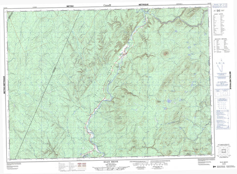
021O03 Riley Brook Canada topo map, 1:50,000 scale
021O03 Riley Brook NRCAN topographic map.
Includes UTM and GPS geographic coordinates (latitude and longitude). This 50k scale map is suitable for hiking, camping, and exploring, or you could frame it as a wall map.
Printed on-demand using high resolution, on heavy weight and acid free paper, or as an upgrade on a variety of synthetic materials.
Topos available on paper, Waterproof, Poly, or Tyvek. Usually shipping rolled, unless combined with other folded maps in one order.
- Product Number: NRCAN-021O03
- Parent Topo: TOPO-021O
- Map ID also known as: 021O03, 21O3, 21O03
- Unfolded Size: Approximately 26" high by 36" wide
- Weight (paper map): ca. 55 grams
- Map Type: POD NRCAN Topographic Map
- Map Scale: 1:50,000
- Geographical region: New Brunswick, Canada
Neighboring Maps:
All neighboring Canadian topo maps are available for sale online at 1:50,000 scale.
Purchase the smaller scale map covering this area: Topo-021O
Spatial coverage:
Topo map sheet 021O03 Riley Brook covers the following places:
- Denmark - Drummond - Lorne - Victoria - Balm of Gilead Island - Beaver Island - Blackguard Island - Horse Island - Ox Bow Island - Oxbow Island - Pull and Be Damned Island - Swift Island - Baldoon Lake - Baldwin Lake - Big Everett Lake - Blue Mountain Lake - Jenkins Brook Lake - Jenkins Lake - Little Everett Lake - Little Fish Lake - Little Neary Pond - Lizard Pond - Neary Pond - Reed and Hutchinson Pond - Riley Lake - Rocky Lake - Stewart Brook Lake - Upper Blue Mountain Lake - Virgin Pond - Bald Mountain - Bald Peak - Black Mountains - Black Peak - Blue Mountain - Colters Mountain - Colters Mountain - Craig Mountain - Falls Mountain - Gulquac Mountains - Haystack Mountain - Lower Blue Mountain - Mink Cove Ridge - Mount Goodfellow - Serpentine Mountain - Spruce Mountain - Stewart Peaks - Upper Blue Mountain - Haley Plain - Bear Brook - Big Brook - Bill Brook - Blue Brook - Blue Mountain Brook - Burgoyne Brook - Burntland Brook - Campbell River - Campbell River (Right Hand Branch) - Campbell River (Right Hand Branch) - Cedar Brook - Colters Brook - Cox Brook - Craig Brook - Dead Brook - Dean Brook - Duff Brook - East Branch Salmon River - East Salmon River - Everett Brook - Fifteen Mile Tree Brook - Fifteenmile Tree Brook - Four Mile Brook - Four Mile Brook - Fourmile Brook - Giberson Brook - Graham Brook - Graham Brook - Haley Brook - Hallett Brook - Horne Brook - Horse Island Brook - Hutchinson Brook - Irving Brook - Jenkins Brook - John Everett Brook - Johnson Brook - Left Hand Branch Cedar Brook - Left Hand Branch Everett Brook - Left Hand Branch Haley Brook - Left Hand Branch Padget Brook - Left Hand Branch Two Brooks - Left Hand Cedar Brook - Left Hand Everett Brook - Left Hand Haley Brook - Left Hand Padget Brook - Left Two Brooks - Left Two Brooks - Legace Brook - Leslie Brook - Little Everett Brook - Little Neary Brook - Little Nictau Brook - Little Tobique River - Little Tobique River (Nictor Branch) - Lizard Brook - Mamozekel River - Mamozekel Runround - McDougall Brook - McNair Brook - Middle Brook - Neary Brook - North Branch Gulquac River - North Gulquac River - North Sisson Branch - Osser Brook - Padget Brook - Phillips Brook - Reardon Brook - Right Hand Branch Burntland Brook - Right Hand Branch Stewart Brook - Right Hand Branch Three Brooks - Right Hand Branch Tobique River - Right Hand Branch Two Brooks - Right Hand Burnt Land Brook - Right Hand Stewart Brook - Right Two Brooks - Right Two Brooks - Riley Brook - River Dee - River Don - Rock Brook - Rocky Brook - Rocky Brook - Salmon River - Sewell Brook - Sewell Brook - Shepard Brook - Shepard Gulch - Sisson Branch - Sisson River - South Dead Brook - Stewart Brook - Sutherland Brook - Taylor Brook - Tobique River - Tobique River - Tom Pole Brook - Turner Brook - Two Brooks - Two Mile Brook - Twomile Brook - Watson Brook - Wilson Brook - Blue Mountain Bend - Forks of Tobique - Haley Brook Bogan - Nictau Bogan - Hallett Rocks - Blue Mountain Bend - Everett - Foley Brook - Lower Blue Mountain - Nictau - Oxbow - Riley Brook - Two Brooks - Forbes Gulch - Shingle Gulch


