
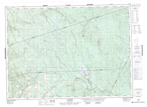
021J11 Juniper Canada topo map, 1:50,000 scale
021J11 Juniper NRCAN topographic map.
Includes UTM and GPS geographic coordinates (latitude and longitude). This 50k scale map is suitable for hiking, camping, and exploring, or you could frame it as a wall map.
Printed on-demand using high resolution, on heavy weight and acid free paper, or as an upgrade on a variety of synthetic materials.
Topos available on paper, Waterproof, Poly, or Tyvek. Usually shipping rolled, unless combined with other folded maps in one order.
- Product Number: NRCAN-021J11
- Parent Topo: TOPO-021J
- Map ID also known as: 021J11, 21J11
- Unfolded Size: Approximately 26" high by 36" wide
- Weight (paper map): ca. 55 grams
- Map Type: POD NRCAN Topographic Map
- Map Scale: 1:50,000
- Geographical region: New Brunswick, Canada
Neighboring Maps:
All neighboring Canadian topo maps are available for sale online at 1:50,000 scale.
Purchase the smaller scale map covering this area: Topo-021J
Spatial coverage:
Topo map sheet 021J11 Juniper covers the following places:
- Aberdeen - Douglas - Kent - Diamond Lake - Green Lake - Lampedo Lake - Lost Lake - Trout Lake - Beadle Mountain - Bradley Mountain - Campbell Hill - Carrol Hill - Nashwaak Mountain - Spruce Peak - West Brook Mountain - Crooked Rapids - Beadle Brook - Beaver Brook - Beaver Brook - Beaver Brook - Big Teague Brook - Biggar Brook - Black Brook - Blowdown Brook - Bogan Brook - Brewer Brook - Burke Brook - Canavan Brook - Carleton Brook - Carrol Brook - Casey Brook - Cedar Brook - Craig Brook - Deadman Brook - Deadwater Brook - Diamond Brook - East Branch Monquart Stream - East Monquart River - Elder Brook - Elliott Brook - Fifteen Mile Brook - First Elliott Brook - Five Mile Brook - Five Mile Brook - Giberson Brook - Gould Brook - Gray Brook - Green Brook - Green Brook - Green Brook - Green Brook - Green Brook - Hartt Brook - Indian Brook - Juniper Brook - Kelly Brook - Kenny Brook - Lake Brook - Lampedo Branch - Lampedo Brook - Left Hand Branch Trout Brook - Left Hand Trout Brook - Little Clearwater Brook - Little Elliott Brook - Little South Branch Burnthill Brook - Little South Burnthill Brook - Little South Burnthill Brook - Little Teague Brook - Main Southwest Miramichi River - McCluckey Brook - McCluskey Brook - McKiel Brook - Monquart River - North Branch Shikatehawk Stream - North Branch Southwest Miramichi River - North Shikatehawk River - O'Brien Brook - Odellach River - Randall Brook - Salmon Brook - Second Elliott Brook - Shikatehawk River - Shikatehawk Stream - Shiktahawk River - Shine Brook - Silver Brook - Simpson Brook - Sluice Falls Brook - South Branch Burnthill Brook - South Branch McKiel Brook - South Branch Southwest Miramichi River - South Burnthill Brook - South Burnthill Brook - South McKiel Brook - Southwest Miramichi River - Southwest Miramichi River - Teague Brook - Third Elliott Brook - Trout Brook - West Branch McKiel Brook - West Brook - West McKiel Brook - Wiley Brook - The Forks - Argyle - Beaufort - Biggar Ridge - Birch Ridge - Centre Glassville - Chapmanville - Divide - East Glassville - Foreston - Gray Ridge - Hayden Ridge - Juniper - Juniper Station - Kenneth - Lampedo - MacIntosh Mill - North Ridge - South Ridge - Summit - Welch - West Glassville - Alder Grounds - Juniper Barren


