
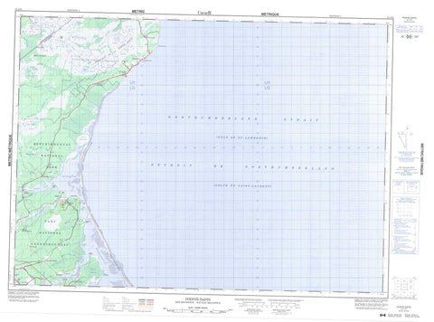
021I15 Pointe Sapin Canada topo map, 1:50,000 scale
021I15 Pointe Sapin NRCAN topographic map.
Includes UTM and GPS geographic coordinates (latitude and longitude). This 50k scale map is suitable for hiking, camping, and exploring, or you could frame it as a wall map.
Printed on-demand using high resolution, on heavy weight and acid free paper, or as an upgrade on a variety of synthetic materials.
Topos available on paper, Waterproof, Poly, or Tyvek. Usually shipping rolled, unless combined with other folded maps in one order.
- Product Number: NRCAN-021I15
- Parent Topo: TOPO-021I
- Map ID also known as: 021I15, 21I15
- Unfolded Size: Approximately 26" high by 36" wide
- Weight (paper map): ca. 55 grams
- Map Type: POD NRCAN Topographic Map
- Map Scale: 1:50,000
- Geographical region: New Brunswick, Canada
Neighboring Maps:
All neighboring Canadian topo maps are available for sale online at 1:50,000 scale.
Purchase the smaller scale map covering this area: Topo-021I
Spatial coverage:
Topo map sheet 021I15 Pointe Sapin covers the following places:
- Anse à Simon à Michel - Baie de Saint-Louis - Grande Anse - Gulf of St. Lawrence - Kouchibouguac Bay - Kouchibouguac Bay - Palmer Creek - Pollys Creek - Callanders Beach - Kellys Beach - Kouchibouguac Beach - North Beach - North Kouchibouguac Beach - North Kouchibouguac Dune - North Richibucto Beach - North Richibucto Dune - South Kouchibouguac Beach - South Kouchibouguac Dune - Black River Point - North Cape - Pointe à Auguste - Pointe à Maxime - Pointe de Pruche - Pointe de Terre-noire - Pointe Sapin - South Cape - Blacklands Gully - Détroit de Northumberland - Goulet de Saint-Louis - Goulet de Terre-noire - Les Étroits - Little Gully - Northumberland Strait - Carleton - Hardwicke - Kent - Northumberland - Saint-Louis - Île à Café - Kouchibouguac Lagoon - Kouchibouguacis Lagoon - Lac à Livain - Lac des Irlandais - Le Barachois - Northern Lagoon - Superior Lake - Sutherland Lake - Kouchibouguac National Park of Canada - Parc national du Canada Kouchibouguac - Pointe-Sapin Provincial Park - Black River - Carrigan Brook - East Branch Eel River - Eel River - Fontaine Creek - Kellock Creek - Kollock Creek - Kouchibouguac River - Kouchibouguacis River - Meadow Brook - Pollys Creek - Portage River - Portage River - Rankin Brook - Rivière à l'Anguille - Rivière au Portage - Rivière au Portage-sud - Rivière Fontaine - Rivière Française - Rivière Saint-Louis - Ruisseau à Baptiste - Ruisseau à Germain - Ruisseau à Maxime - Ruisseau à Petit-Pierre - Ruisseau à Pierrot - Ruisseau des Canards - Ruisseau des Major - South Forks Creek - Cap-de-Saint-Louis - Claire Fontaine - Claire-Fontaine - Fontaine - Guimond - Guimond-Village - Loggiecroft - Logiecroft - Lower Sapin - Middle Kouchibouguac - Petit-Large - Point Sapin Centre - Pointe-Sapin - Pointe-Sapin-Centre - Rivière-au-Portage - Saint Olivier - Saint-Camille - Saint-Oliver - Saint-Olivier - South Kouchibouguac - St. Louis Cape - Carrigan Plain - Eel River Plain - Fontaine Macôque - Grand macôque Rond - Grand mocauque Rond - Mocauque de la Pointe-Sapin - Mocauque Fontaine - Point Sapin Plain - Pré à Germain - Round Plain - Terre Noire - Point Sapin


