
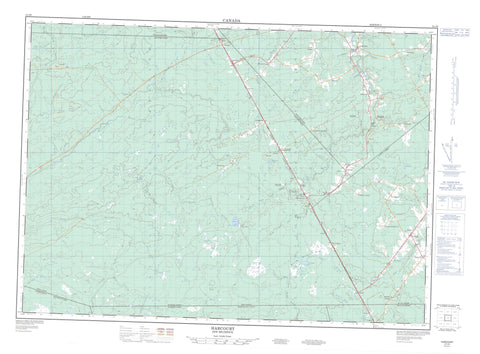
021I06 Harcourt Canada topo map, 1:50,000 scale
021I06 Harcourt NRCAN topographic map.
Includes UTM and GPS geographic coordinates (latitude and longitude). This 50k scale map is suitable for hiking, camping, and exploring, or you could frame it as a wall map.
Printed on-demand using high resolution, on heavy weight and acid free paper, or as an upgrade on a variety of synthetic materials.
Topos available on paper, Waterproof, Poly, or Tyvek. Usually shipping rolled, unless combined with other folded maps in one order.
- Product Number: NRCAN-021I06
- Parent Topo: TOPO-021I
- Map ID also known as: 021I06, 21I6, 21I06
- Unfolded Size: Approximately 26" high by 36" wide
- Weight (paper map): ca. 55 grams
- Map Type: POD NRCAN Topographic Map
- Map Scale: 1:50,000
- Geographical region: New Brunswick, Canada
Neighboring Maps:
All neighboring Canadian topo maps are available for sale online at 1:50,000 scale.
Purchase the smaller scale map covering this area: Topo-021I
Spatial coverage:
Topo map sheet 021I06 Harcourt covers the following places:
- Chignecto Isthmus - Brunswick - Harcourt - Huskisson - Moncton - Queens - Saint-Paul - Salisbury - Weldford - Westmorland - Adamsville Lake - Birch Ridge Lake - Coal Branch Lake - Lac de Bon-Secours - Duffs Hill - Alder Brook - Bear Meadow Brook - Beaver Brook - Bells Creek - Big Brook - Blind Brook - Bridge Meadow Brook - Browns Brook - Buctouche River - Canaan River - Clares Creek - Coal Branch River - Cordy Brook - David Carruthers Brook - Donald Brook - Duffs Brook - Dunn Brook - East Branch Coy Brook - East Branch Little Forks Stream - East Coy Brook - East Little Forks Brook - Farrer Brook - Five Mile Brook - Fivemile Brook - Fork Stream - Forks Stream - Fulton Meadow Brook - Hamilton Brook - Hazen Jam Brook - Horton Brook - Hudson Brook - James Carruthers Brook - Jimmy Graham Fork - Johnson Brook - Kellock Brook - Lake Stream - Lipsett Brook - Little Coal Branch River - Little Mick Brook - Lower North Branch Canaan River - Lower North Canaan River - Luke Brook - MacIntosh Brook - McLean Brook - McWilliam Brook - Meadow Brook - Meadow Brook - Middle North Branch - Middle North Branch Canaan River - North Richibucto River - Otter Brook - Powells Brook - Richard Brook - Richibucto River - Salmon River - Smith Meadow Brook - Snake Brook - South Forks Brook - Spring Brook - St. Nicholas River - Stony Brook - Tom Irving Brook - Tom Owens Brook - Trout Brook - Trout Brook - Upper North Branch - Upper North Branch Buctouche River - Upper North Branch Canaan River - Upper North Brook - Upper North Canaan River - Van Buskirk Brook - West Branch - West Branch St. Nicholas River - West St. Nicholas River - Little South Forks - North Forks Coal Branch - North Forks Coal Branch River - South Forks Coal Branch - South Forks Coal Branch River - The Oxbow - Adamsville - Beersville - Birch Ridge - Birch Siding - Bishopland Road - Bon Secours - Bon-Secours - Brest - Bryants Corner - Cails Mills - Canaan - Canaan Station - Clairville - Coal Branch - Coal Branch Station - Emerson - Fords Mills - Girouard - Grangeville - Harcourt - Hébert - Jailletville - Lakeville - Légerville - Mortimer - Pine Ridge - Richardville - Saint-Paul - Saint-Sosime - St. Pauls - St. Sosime - St-Sosime - Terrains de L'Évêque - Upper St. Paul - Val-Richard - Village St. Augustin - Village-des-Belliveau - Village-des-Léger - Village-Saint-Augustin - Village-St-Augustin - Birch Ridge Bog - Selick Bog


