
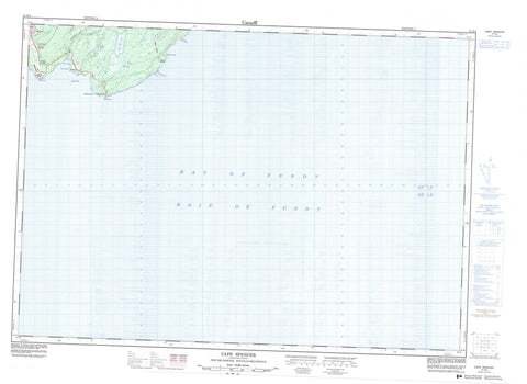
021H04 Cape Spencer Canada topo map, 1:50,000 scale
021H04 Cape Spencer NRCAN topographic map.
Includes UTM and GPS geographic coordinates (latitude and longitude). This 50k scale map is suitable for hiking, camping, and exploring, or you could frame it as a wall map.
Printed on-demand using high resolution, on heavy weight and acid free paper, or as an upgrade on a variety of synthetic materials.
Topos available on paper, Waterproof, Poly, or Tyvek. Usually shipping rolled, unless combined with other folded maps in one order.
- Product Number: NRCAN-021H04
- Parent Topo: TOPO-021H
- Map ID also known as: 021H04, 21H4, 21H04
- Unfolded Size: Approximately 26" high by 36" wide
- Weight (paper map): ca. 55 grams
- Map Type: POD NRCAN Topographic Map
- Map Scale: 1:50,000
- Geographical region: New Brunswick, Canada
Neighboring Maps:
All neighboring Canadian topo maps are available for sale online at 1:50,000 scale.
Purchase the smaller scale map covering this area: Topo-021H
Spatial coverage:
Topo map sheet 021H04 Cape Spencer covers the following places:
- Baie de Fundy - Bay of Fundy - Beveridge Cove - Deep Cove - Evans Cove - Mispec Bay - Mispek Bay - Moore Cove - Beveridge Beach - Louisa D. Beach - McElwains Beach - West Beach - Cape Spencer - Connoly Head - Mispec Point - Mispek Point - Simonds - Balls Lake - Calvert Lake - Millican Lake - Southern Lakes - Canaport - Red Head - Red Head Mountain - Anthonys Brook - Bean Brook - Beaver Brook - Beyea Brook - Brandy Brook - Grassy Brook - Grassy Lake Brook - McKenzie Brook - Millican Brook - Mispec River - Mispek River - Thomas Brook - Black Rock - Ploughshare Rock - The Sisters - Cape Spencer - Mispec - Mispec Park - Mispek - Red Head - Rocky Corner - West Beach


