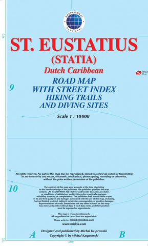
St. Eustatius (Statia) : Dutch Caribbean : road map with street index hiking trails and diving sites
This first and only complete road and street map with a street index of the Dutch Caribbean island of Saint Eustatius (Statia), ( Scale 1 : 10 000 ) renders roads and streets with their names and locates hiking trails and diving sites. *** The map is sold folded, measuring 4 7/8 x 8 7/8 ( 12.5 cm x 22.5 cm ), and is designed for easy opening and refolding. Its full unfolded format is 26 3/8 x 35 ( 67 cm x 89 cm ). *** Designed for travelers, this excellent map has unsurpassed coverage of the island, and its extensive information and depth of detail fit a broad range of interests. The map has hill shading, three levels of roads (footpaths, secondary roads, and main roads) and symbols representing a large number of physical features.
- Product Number: KAS_EUST_14
- Reference Product Number: 2226204M
- ISBN: 9791095793106
- Date of Publication: 6/1/2014
- Folded Size: 9.06 inches high by 5.31 inches wide
- Unfolded (flat) Size: 26.38 inches high by 35.04 inches wide
- Map format: Folded
- Map type: Trade Maps - Road
- Geographical region: Netherlands