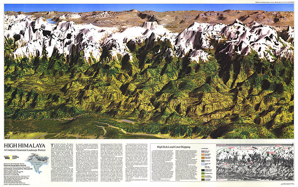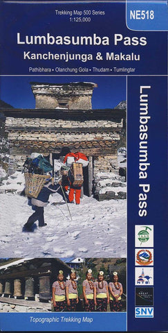
Lumbasumba Pass : Kanchenjunga & Makalu
Title: LUMBASUMBA PASS Subtitle: Kanchenjunga & Makalu Scale: 1: 125,000 Longitude: 87° 05? – 88° 10? Latitude: 27° 17? – 27° 55? Altitude Range: 405m – 5039m Difficulty: Very Strenuous Days: 17 – 25 Organization: Group Route: Basantpur, Tinjure, Gupha Pokhari, Dobhan, Taplejung, Chhiruwa, Lelep, Iladanda, Selap, Sera, Olangchum Gola, Langmale, Lumbasumba Pass, Yak Kharka, Thudam, Chyamtang, Hatiya, Gola, Hedanga Gadi, Num, Khadbari.
- Product Number: NEP_LUMBA_18
- Reference Product Number: 2313549M
- ISBN: 9789937577120
- Date of Publication: 6/1/2018
- Folded Size: 9.45 inches high by 4.72 inches wide
- Unfolded (flat) Size: 33.86 inches high by 22.44 inches wide
- Map format: Folded
- Map type: Trade Maps - Hiking
- Geographical region: Nepal