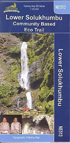
Lower Solukhumbu Community Based Eco Trail
Title: Lower Solukhumbu Community Based Eco Trail
Scale: 1:125,000
Longitude: 86° 20? - 86° 55?
Latitude: 27° 20? - 28° 05?
Altitude Range: 1500m - 4500m
Difficulty: Moderate
Days: 5 - 15
Organization: Individual/Group
Route : HALESI, DHARMA DANDA, GHYAN, SALPA, PANCH POKHARI, JUNBESI, SALLERI, POKALI
- Product Number: NEP_LOW_SOL_18
- Reference Product Number: 2313544M
- ISBN: 9789993347859
- Date of Publication: 6/1/2018
- Folded Size: 9.45 inches high by 4.72 inches wide
- Unfolded (flat) Size: 23.03 inches high by 31.1 inches wide
- Map format: Folded
- Map type: Trade Maps - Hiking
- Geographical region: Nepal

