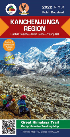
Kanchenjunga Region, Nepal Trekking Map
The Great Himalaya Trail in Nepal has been split into 10 sections to reflect the diversity of landscapes and cultures as you move from East to West through Nepal. It also offers a manageable way to approach walking the Great Himalaya Trail as individual treks.
Nepa Maps has produced a series of 10 corresponding weatherproof maps.
The Far West is one of the least explored areas of Nepal. Its area is bounded to the east by mighty, turquoise Karnali river which flows from Tibets sacred Mount Kailash.
Humla, the Hidden Himalaya, is also known as the Gateway to Mt. Kailash and many pilgrims make their way along the turquoise Karnali river, the pulse of the earth, to the border with Tibet.
- Product Number: NEP_101_KANCHEN_22
- Reference Product Number: - None -
- ISBN: 9789937956550
- Date of Publication: 12/1/2022
- Folded Size: 9.45 inches high by 4.72 inches wide
- Unfolded (flat) Size: 22.83 inches high by 34.25 inches wide
- Map format: Folded
- Map type: Trade Maps - Hiking
- Geographical region: Nepal