Free Shipping on map orders over $300 - Prices in US$
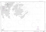
Luzon Strait (NGA-91010-6) by National Geospatial-Intelligence Agency
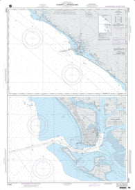
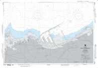
Corinto And Approaches (NGA-21525-22) by National Geospatial-Intelligence Agency
Queen Elizabeth Islands; Southern Part And Adjacent Waters (NGA-15023-5) by National Geospatial-Intelligence Agency
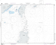
Macau To Taiwan Strait (NGA-93006-3) by National Geospatial-Intelligence Agency
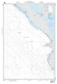
Corinto To Punta Guiones (NGA-21540-36) by National Geospatial-Intelligence Agency
Madagascar - East Coast (NGA-61550-2) by National Geospatial-Intelligence Agency
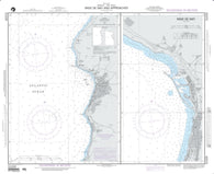
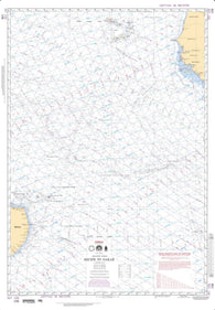
Rabat And Sale To El Jorf Lasfar (NGA-51220-8) by National Geospatial-Intelligence Agency
Madagascar - North Coast And The Seychelles (NGA-61300-2) by National Geospatial-Intelligence Agency
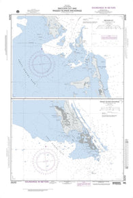
Racoon Cut; Plan A: Racoon Cut (NGA-26255-7) by National Geospatial-Intelligence Agency
Madagascar - South Coast (NGA-61500-2) by National Geospatial-Intelligence Agency
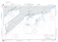
Rade De Casablanca (NGA-51222-6) by National Geospatial-Intelligence Agency
Corry Island To Robertson Island (NGA-29128-4) by National Geospatial-Intelligence Agency
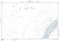
Rade De Safi And Approaches (NGA-51224-1) by National Geospatial-Intelligence Agency
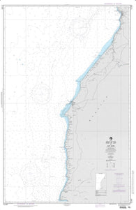
Rade De Safi To Cap Ghir (NGA-51280-8) by National Geospatial-Intelligence Agency
Majuro Atoll, Marshall Islands (NGA-81782-2) by National Geospatial-Intelligence Agency
Makassar Strait (Southern Part) (NGA-72007-10) by National Geospatial-Intelligence Agency
Makassar Strait - Central Part (NGA-72105-2) by National Geospatial-Intelligence Agency
Makassar Strait - North Part (NGA-72173-2) by National Geospatial-Intelligence Agency
Recife To Belmonte (NGA-24012-40) by National Geospatial-Intelligence Agency
Recife To Dakar (NGA-106-1) by National Geospatial-Intelligence Agency
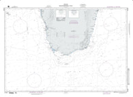
Malakal Harbor (NGA-81155-6) by National Geospatial-Intelligence Agency
Maldives To Sumatera (Indian Ocean) (NGA-707-2) by National Geospatial-Intelligence Agency
Maloelap And Aur Atolls (NGA-81771-3) by National Geospatial-Intelligence Agency
Red Sea (Omega) (NGA-704-1) by National Geospatial-Intelligence Agency
Coxan Hole And French Harbor (NGA-28153-1) by National Geospatial-Intelligence Agency
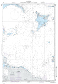
Mantangule Island To Eran Bay (NGA-93046-1) by National Geospatial-Intelligence Agency
Manzanillo To Acapulco Mexico (NGA-21020-42) by National Geospatial-Intelligence Agency
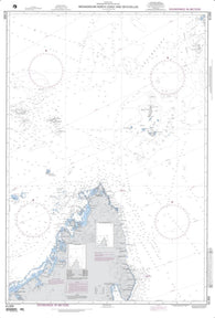
Riiser Larsen Peninsula To West Ice Shelf, Antarctica (NGA-29022-5) by National Geospatial-Intelligence Agency
Crooked Island Passage To Punta De Maisi (NGA-26240-7) by National Geospatial-Intelligence Agency
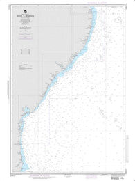
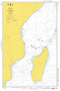
Maputo To Mogadishu (NGA-701-3) by National Geospatial-Intelligence Agency
Rio Colorado Cristobal With Continuation Of Rio Colorado Cristobal (NGA-26070-2) by National Geospatial-Intelligence Agency
Rio De Janeiro To Ilha De Santa Catarina (NGA-24004-36) by National Geospatial-Intelligence Agency
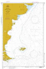
Rio De La Plata To Cape Horn (NGA-200-3) by National Geospatial-Intelligence Agency
Rio Parnaiba To Recife (NGA-24016-53) by National Geospatial-Intelligence Agency
Cua Nhuong To Leizhou Bandao (NGA-93032-4) by National Geospatial-Intelligence Agency
Mariana Islands To Gilbert Islands (NGA-506-2) by National Geospatial-Intelligence Agency
Roi Anchorage; Plan A: Roi Anchorage (NGA-81711-6) by National Geospatial-Intelligence Agency
Rongelap Atoll, Marshall Islands (NGA-81563-2) by National Geospatial-Intelligence Agency
Rongelap Atoll, Northeastern Part, Marshall Islands (NGA-81565-2) by National Geospatial-Intelligence Agency
Marshall Islands - Northern Portion (NGA-81007-5) by National Geospatial-Intelligence Agency