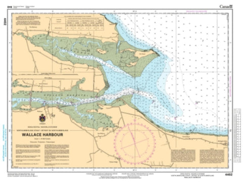
Wallace Harbour by Canadian Hydrographic Service
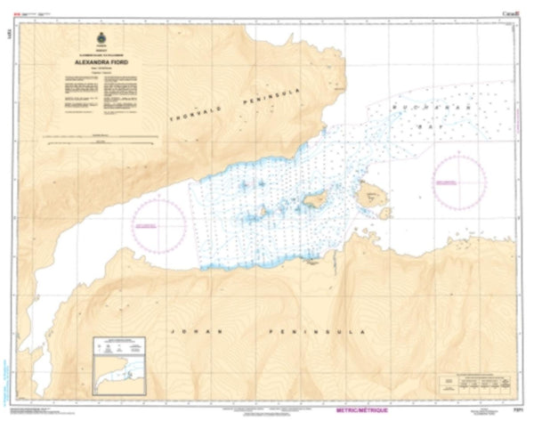
Magnetic variation provided; Bathymetry by contours at internal as small as 6 meters with spot depth in meters; shallow coastal water in blue; anchorages, lighthouses, buoys, wrecks, submerged and awash rocks, obstructions, submarine cables, pipelines, islands, and islets shown; military exercise areas and sailing courses areas marked; Larger-scale maps in the series show shore characteristics (sandy, rocky, cliffs), bridges, and harbor features (piers, wharfs, jetties, breakwaters). Map languages are English and French.
- Product Number: 2193851M
- Product Code: CHS_4402
- Year of Publication: 1998
- Map type: Flat Map
- Geographical region: Canada