
1900 Philippines Map
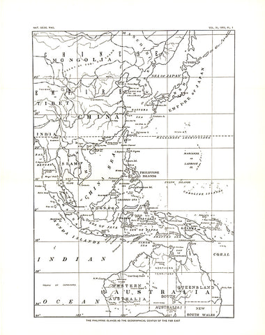
This historic black and white map, entitled The Philippine Islands as the Geographical Center of the Far East, shows the Far East in 1900--two years after the Philippines were taken, then purchased from Spain by the US following the Spanish American War.
- Product Number: PODHNG_PHIL_00
- Reference Product Number: 2321350M
- ISBN: - None -
- Date of Publication: 6/1/1900
- Unfolded (flat) Size: 12.5 inches high by 10 inches wide
- Map format: Wall
- Map type: Trade Maps - Political
- Geographical region: Philippines


