
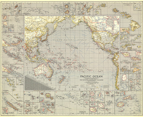
1936 Pacific Ocean Map
Explore the islands and coastlines of the Pacific with this thorough map of the region. With inset maps of dozens of islands and instructive details such as ship routes, naval bases, time zone boundaries and more, this map makes a wonderful collectors piece. Published in December 1936, it accompanied an article entitled Flying the Pacific.
- Product Number: PODHNG_PAC_O_36
- Reference Product Number: 2321594M
- ISBN: - None -
- Date of Publication: 6/1/1936
- Unfolded (flat) Size: 31 inches high by 37.75 inches wide
- Map format: Wall
- Map type: Trade Maps - Wall Art


