
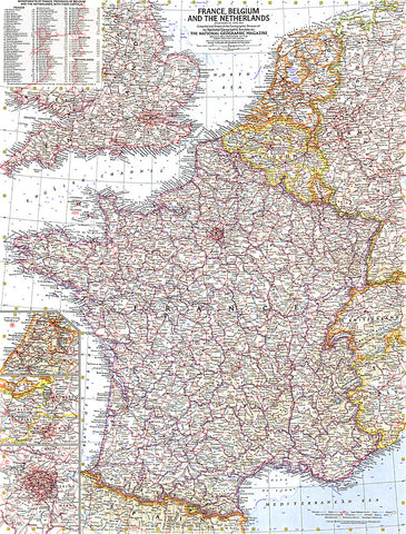
1960 France, Belgium and the Netherlands Map
This detailed map of France, Belgium and the Netherlands is unique in its focus on these three particular countries. Features a list of the départements, or administrative divisions, for each country and their capitals. Includes inset maps of Paris, Amsterdam, and Brussels. Published in June 1960.
- Product Number: PODHNG_FR_BG_NE_60
- Reference Product Number: 2321468M
- ISBN: - None -
- Date of Publication: 6/1/1960
- Unfolded (flat) Size: 24.75 inches high by 19 inches wide
- Map format: Wall
- Map type: Trade Maps - Political
- Geographical region: France


