
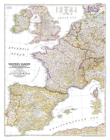
1950 Western Europe Map
Published in December 1950, the Western Europe map is a snapshot of the region as it stood shortly after the end of the Second World War. The status of the Saar and the minor adjustments in Germanys boundary with the Netherlands, Belgium, Luxembourg, and France are provisional at the time, pending a treaty of peace with Germany.
- Product Number: PODHNG_EUR_W_50
- Reference Product Number: 2321461M
- ISBN: - None -
- Date of Publication: 6/1/1950
- Unfolded (flat) Size: 38 inches high by 30 inches wide
- Map format: Wall
- Map type: Trade Maps - Political


