
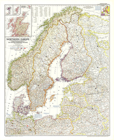
1954 Northern Europe Map
This map of Northern Europe shows the boundaries of Poland and Russia as of June 1, 1954. It also notes American, British, and Russian occupation zones in Germany. Published in August 1954.
- Product Number: PODHNG_EUR_N_54
- Reference Product Number: 2321463M
- ISBN: - None -
- Date of Publication: 6/1/1954
- Unfolded (flat) Size: 36.75 inches high by 30 inches wide
- Map format: Wall
- Map type: Trade Maps - Political


