
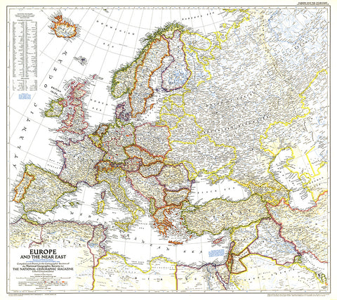
1949 Europe and the Near East Map
A striking rendering of post-war Europe, this map is unique in its lack of ocean color. Colorful borders leap off the white page projecting an optimistic tone. Published in June 1949 with the article Italy Smiles Again, this map shows American, British, French, and Russian occupational zones in Germany and Austria.
- Product Number: PODHNG_EUR_49
- Reference Product Number: 2321434M
- ISBN: - None -
- Date of Publication: 6/1/1949
- Unfolded (flat) Size: 28.25 inches high by 31.75 inches wide
- Map format: Wall
- Map type: Trade Maps - Political


