
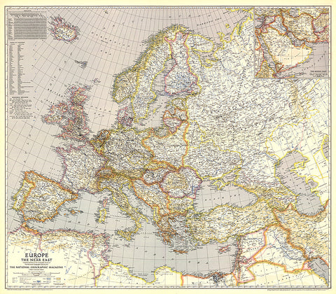
1943 Europe, and the Near East Map
Published in June 1943, this map of Europe and the Near East features distances from European ports to other world ports. An inset of the Middle East provides detail of the Asian countries adjacent to Europe.
- Product Number: PODHNG_EUR_43
- Reference Product Number: 2321433M
- ISBN: - None -
- Date of Publication: 6/1/1943
- Unfolded (flat) Size: 34 inches high by 38.75 inches wide
- Map format: Wall
- Map type: Trade Maps - Political


