
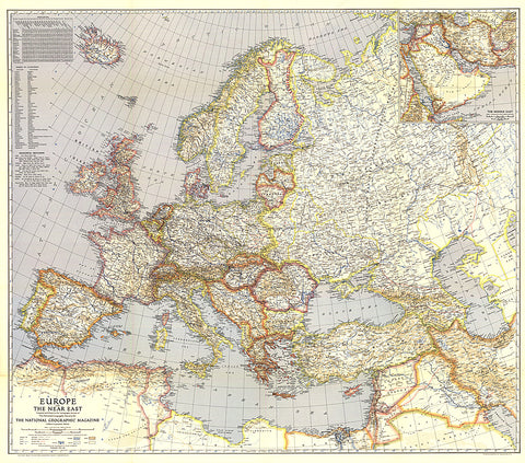
1940 Europe and the Near East Map
Published in May 1940, this map of Europe and the Near East shows international boundaries as of April 1, 1940. An inset of the Middle East provides detail of the Asian countries adjacent to Europe.
- Product Number: PODHNG_EUR_40
- Reference Product Number: 2321432M
- ISBN: - None -
- Date of Publication: 6/1/1940
- Unfolded (flat) Size: 34 inches high by 38.5 inches wide
- Map format: Wall
- Map type: Trade Maps - Political


