
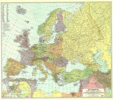
1929 Europe, and the Near East Map
This colorful map was published in December 1929 with three articles on Europe and the Near East including The Danube, Highway of Races. An inset map of airways is included, showing commercial air travel in its infancy.
- Product Number: PODHNG_EUR_29
- Reference Product Number: 2321430M
- ISBN: - None -
- Date of Publication: 6/1/1929
- Unfolded (flat) Size: 34 inches high by 38.5 inches wide
- Map format: Wall
- Map type: Trade Maps - Political


