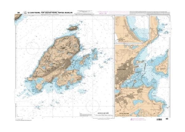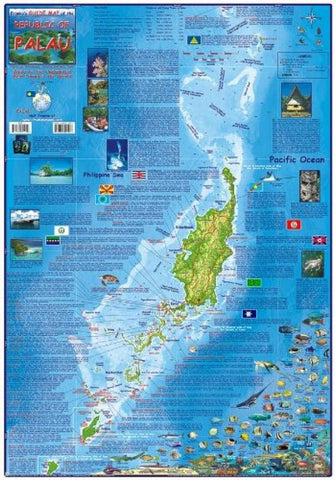
Palau Guide Map, Laminated Map by Frankos Maps Ltd.
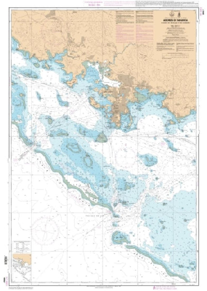
Laminated guide map, ideal for scuba divers and snorkelers. Provides information about Palau, conditions and attractions at scuba diving sites. Includes illustrations and common names of Philippine Sea/Pacific Ocean creatures. Shows snorkeling sites, scuba sites, major roads, unpaved roads, points of interest and lodging. This map contains more information about the archipelago and the Republic of Palau than you will find anywhere else. Loaded with information for everything there is to see and do in Palau. Side One focuses on scuba diving and snorkeling locations, has information about Palaus states, and more. Side Two describes many of the resorts and tourist sites, and has close-ups of Koror, Babeldaob, Peleliu, and Angaur, and also has a map showing the locations of Sonsoral Island, Fanna Island, Pulo Anna Island, Merir Island, Tobi Island (Hatohobei State), and Helen Reef. 19 x 26
- Product Number: 2126624M
- Product Code: FM_PALAU_LAM
- ISBN: 9781601902009
- Year of Publication: 2011
- Unfolded Size: 25.79 x 17.91 inches
- Map type: Flat Map
- Geographical region: Miscellaneous