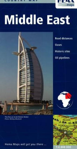
Middle East by Hema Maps
Folded paper map of the Middle East that shows political boundaries, with color tints differentiating countries. Distinguishes five kinds of roads from highways to tracks. Shows railways, airports, airfields, seaports, ancient sites, oil pipelines, shipping routes, border crossings. Physical features include lakes (permanent and periodical), sandy deserts, salt marshes, salt flats, etc. Includes Eritrea, much of Sudan, Pakistan and the Gujurati coast as far south as Mumbai (Bombay). Scale 1:4,000,000. In English and romanized Arabic.
- Product Number: 2032449M
- Product Code: HEMA_MIDDLE
- ISBN: 9781865003184
- Year of Publication: 2006
- Folded Size: 9.84 x 5.12 inches
- Unfolded Size: 31.69 x 45.67 inches
- Map type: Folded Map
- Geographical region: Middle East