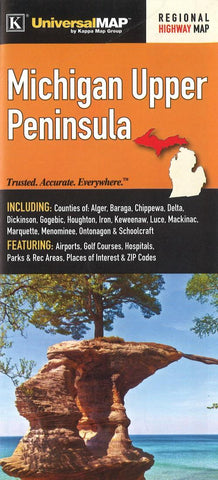
Michigan, Upper Peninsula by Kappa Map Group
The Michigan Upper Peninsula fold map is a full-color, regional map, including the counties of: Alger, Baraga, Chippewa, Delta, Dickinson, Gogebic, Houghton, Iron, Keweenaw, Luce, Mackinac, Marquette, Menominee, Ontonagon, and Schoolcraft; and features: Airports, Golf Courses, Hospitals, Parks and Rec Areas, Places of Interest, and ZIP Codes
- Product Number: 2259262M
- Product Code: KMG_MI_UP
- ISBN: 9780762585571
- Year of Publication: 2016
- Folded Size: 9.06 x 3.94 inches
- Unfolded Size: 38.19 x 26.38 inches
- Map type: Folded Map
- Geographical region: Michigan

