
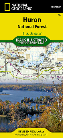
Huron National Forest, Map 757 by National Geographic Maps
• Waterproof • Tear-Resistant • Topographic Map
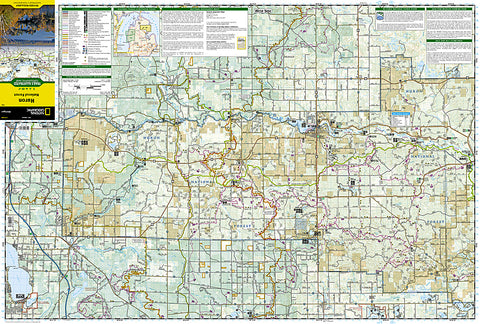
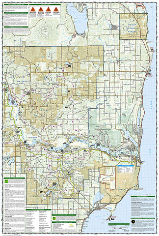
Expertly researched and created in cooperation with the U.S. Forest Service, Michigan Department of Natural Resources and others, National Geographics Trails Illustrated map of Huron National Forest is an essential travel companion for outdoor enthusiasts exploring this area in northeast lower Michigan. The maps coverage includes popular recreation areas, such as Au Sable National Scenic River; South Higgins Lake, Tawas Point and Harrisville State Parks; Sturgeon Point Scenic Site; Hubbard, Sand and Round Lakes; River Road Scenic Byway; and Lake Huron.
To assist in your finding a recreation area suiting your interests, all trails are clearly labeled according to their designated usage, whether exploring on foot, skis, bicycle, ATV, motorcycle, horseback or snowmobile. Many trails are shown with mileage markers, including the Midland to Mackinac Trail, Michigan Cross Country Cycle Trail (MCCCT) and Michigan Shore-to-Shore Trail, which are all highlighted. Tables show distances of key points of interest along the Au Sable River. The river is shown with its dams and recreation opportunities, including beaches, boat ramps and areas for picnics, primitive camping, river access, fishing, swimming and tubing. Some of the other recreation features in the area are trailheads, campgrounds, public cabins, lighthouses and points of interest of the Jack Pine Wildlife Viewing Tour.
Every Trails Illustrated map is printed on Backcountry Tough waterproof, tear-resistant paper. A full UTM grid is printed on the map to aid with GPS navigation.
Other features found on this map include: Au Sable Point, Au Sable River, Higgins Lake, Hubbard Lake, Huron National Forest, Tawas Bay.
- Product Number: 2060042M
- Product Code: TI_HURON
- Publisher Product ID: TI00000757
- ISBN: 9781566956550
- Year of Publication: 2012
- Folded Size: 9.45 x 4.33 inches
- Unfolded Size: 24.8 x 37.01 inches
- Map type: Folded Map
- Geographical region: Michigan


