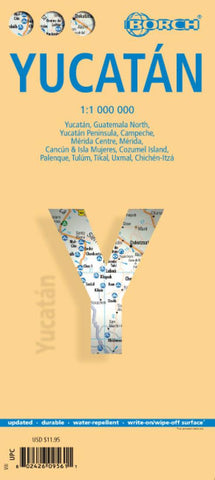
Yucatan Peninsula, Mexico
Yucatan at 1:1,000,00 from Borch on an indexed, laminated and waterproof map of the peninsula with street plans of its main towns, enlargements for the Maya Riviera and Cozumel, plus plans of major Maya sites.
The main map covers the peninsula, extending westwards to Villahermosa and south to Belize City, with an inset at the same scale extending it to Flores in northern Guatemala to include Tikal and other Maya remains in that region. The map highlights numerous Maya temples and other archaeological sites, places of interest, beaches along the Riviera Maya coast, national parks and nature reserves, campsites, etc. A separate map at 1:2,500,000 provides a wider overview of the area, extending across to the Pacific coast and eastwards to Tegucigalpa, to include the whole of Guatemala, Belize, San Salvador and western Honduras.
On the reverse, enlargements show in greater detail the Cancún area with Isla Mujeres at 1:100,000 and Cozumel Island at 1:250,000, highlighting h
- Product Number: BOR_YUCATAN_16
- Reference Product Number: 2159993M
- ISBN: 9783866095618
- Date of Publication: 6/1/2016
- Folded Size: 9.45 inches high by 4.33 inches wide
- Unfolded (flat) Size: 34.65 inches high by 19.29 inches wide
- Map format: Folded
- Map type: Trade Maps - Travel
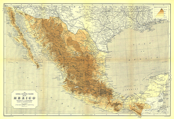
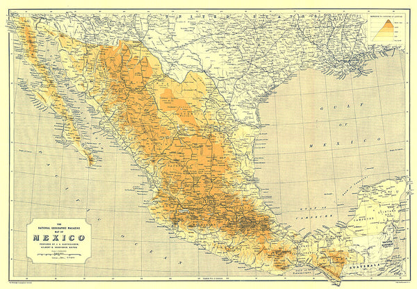
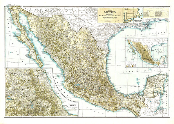
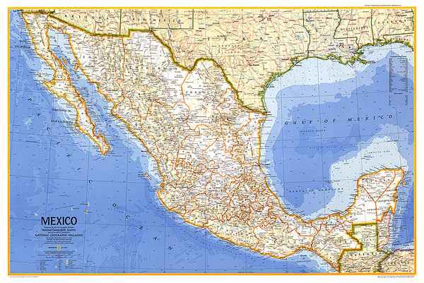
- Geographical region: Mexico
- Geographical subregion: Yucatán