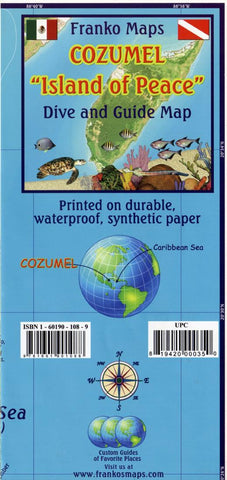
Caribbean Map, Cozumel Guide and Dive, folded, 2011 by Frankos Maps Ltd.
Waterproof recreational map for scuba divers, snorkelers, explorers, tourists. Locations and detailed descriptions of dive sites. Illustrations and common names (in English and Spanish) of 100+ coral reef creatures. Snorkeling sites, archaeological sites, major roads, unpaved roads, places of interest. Chart of average air and surface water temperatures by month. On reverse: maps of Greater and Downtown San Miguel and a cross-section illustration of Cozumels reef with reef features described. Inset map of Chankanaab Marine National Park. Color photographs. Chart of emergency services with phone numbers for divers. Icons locate dive sites, dive shops, snorkel sites, hotels/resorts. 18.5x 26, folded to 4.5 x 9 and printed on waterproof, rip-resistant synthetic stock.
- Product Number: 2029283M
- Product Code: FM_COZUMEL
- ISBN: 9781601901088
- Year of Publication: 2013
- Folded Size: 9.45 x 4.33 inches
- Unfolded Size: 17.91 x 25.39 inches
- Map type: Folded Map
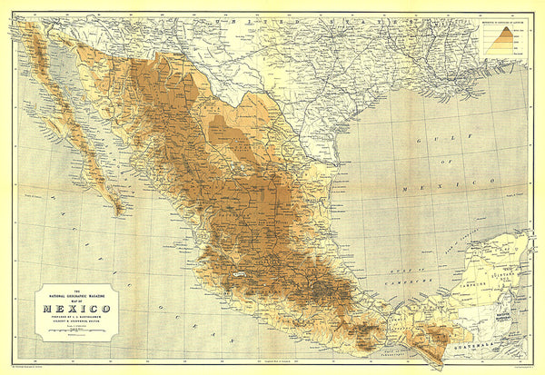
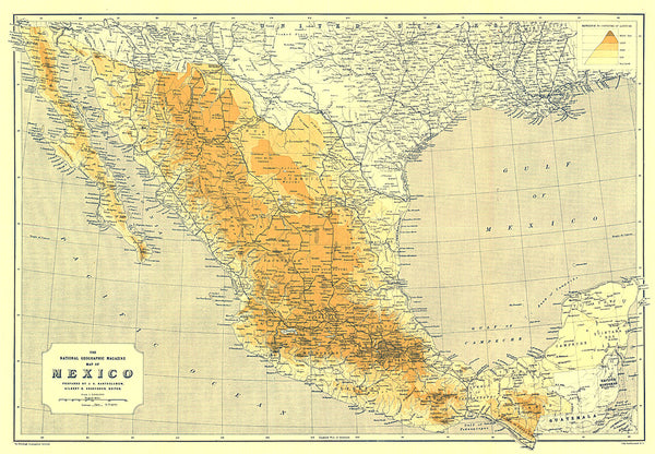
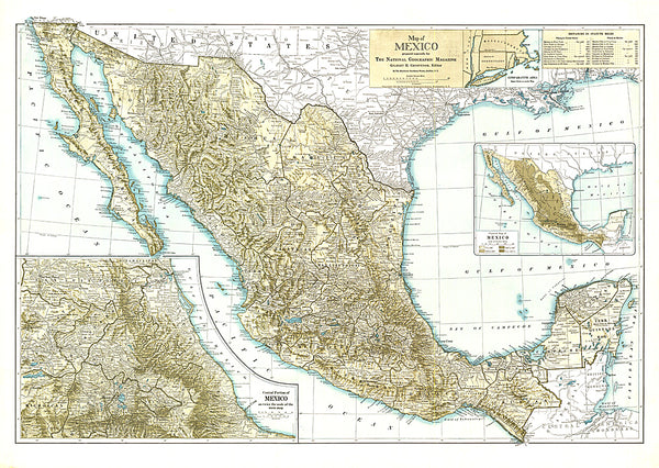
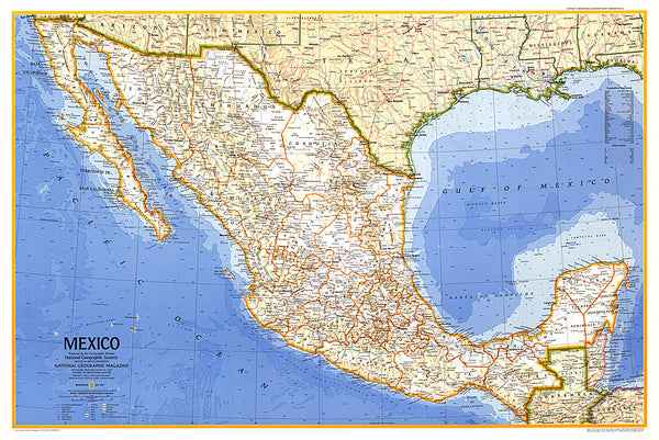
- Geographical region: Mexico