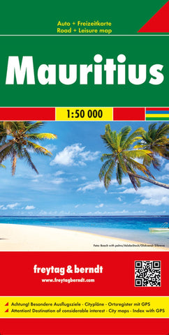
Mauritius, road map 1:50.000
Plan your itinerary and travel indepdendantly with this Freytag & Berndt double-sided road and leisure map of the three islands of Mauritius, Reunion and Rodrigues. The topography is depicted using colour shading and plenty of spot heights. One side features Mauritius Rodrigues, while the flipside shows Reunion.
All Freytag & Berndt maps use a marking and icon system to display tourist information and sites of interest. These include:
Roads and walkways
Populated and prohibited areas
Natural features such as mangroves, water features, swamps and reefs
Airports, harbours and marinas
Places of leisure such as zoos, nature parks, golf courses, camping sites, fishing and surfing areas, and diving spots
Places of worship and look outs
Distances between points are shown in kilometres. The legend is in several languages, including English.
- Product Number: FB_MRS_19
- Reference Product Number: - None -
- ISBN: 9783707916867
- Date of Publication: 9/25/2019
- Folded Size: 10.02 inches high by 5.11 inches wide
- Unfolded (flat) Size: 10.02 inches high by 5.11 inches wide
- Map format: Folded
- Map type: Trade Maps - Road
- Geographical region: Mauritius