
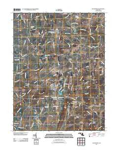
~ Woodsboro MD topo map, 1:24000 scale, 7.5 X 7.5 Minute, Historical, 2011
Woodsboro, Maryland, USGS topographic map dated 2011.
Includes geographic coordinates (latitude and longitude). This topographic map is suitable for hiking, camping, and exploring, or framing it as a wall map.
Printed on-demand using high resolution imagery, on heavy weight and acid free paper, or alternatively on a variety of synthetic materials.
Topos available on paper, Waterproof, Poly, or Tyvek. Usually shipping rolled, unless combined with other folded maps in one order.
- Product Number: USGS-5270992
- Free digital map download (high-resolution, GeoPDF): Woodsboro, Maryland (file size: 17 MB)
- Map Size: please refer to the dimensions of the GeoPDF map above
- Weight (paper map): ca. 55 grams
- Map Type: POD USGS Topographic Map
- Map Series: US Topo
- Map Verison: Historical
- Cell ID: 49814
- Datum: North American Datum of 1983
- Map Projection: Transverse Mercator
- Map Cell Name: Woodsboro
- Grid size: 7.5 X 7.5 Minute
- Date on map: 2011
- Map Scale: 1:24000
- Geographical region: Maryland, United States
Neighboring Maps:
All neighboring USGS topo maps are available for sale online at a variety of scales.
Spatial coverage:
Topo map Woodsboro, Maryland, covers the geographical area associated the following places:
- Haughs Hideway - New Midway - Troutville - Ladiesburg - Vicmyer Vista - Good Hill - Rocky Ridge Estates - Mort Hills - Sunset Acres - Swiger - Loys - Koblan - Hunt Club Acres - Stull - Glade Creek - Rosswood Estates - Copper Oaks - Detour - Le Gore - Piney Hill Estates - Stovers - Hoffman - Devon Farms - Phylpres - Lamberts Acres - Wolfs Den - Sharrer Heights - Midway Pines - Sidmar - Emmitsburg Junction - Mabels Manor - Rock Chapel Estates - Quarry View - Fairhaven - Rocky Ridge - Creagerstown - Monocacy Meadows - Liberty Forest - Centerville - Woodsboro
- Map Area ID: AREA39.62539.5-77.375-77.25
- Northwest corner Lat/Long code: USGSNW39.625-77.375
- Northeast corner Lat/Long code: USGSNE39.625-77.25
- Southwest corner Lat/Long code: USGSSW39.5-77.375
- Southeast corner Lat/Long code: USGSSE39.5-77.25
- Northern map edge Latitude: 39.625
- Southern map edge Latitude: 39.5
- Western map edge Longitude: -77.375
- Eastern map edge Longitude: -77.25


