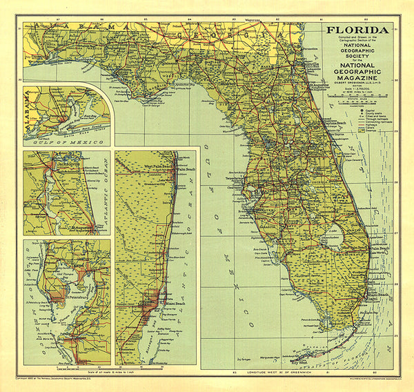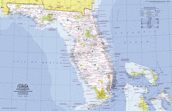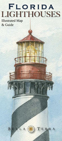
Florida lighthouses Illustrated Map & Guide
This beautifully illustrated map and guide locates all 32 standing and 10 lost lighthouses in Florida, along with lighthouse and maritime museums, on a detailed shaded relief map. With 32 specially commissioned watercolor illustrations. The guide on Side 2 has as much information as a book, including: history and description of each standing and lost lighthouse; driving directions to each standing light or the best viewing spots; boat lines and sightseeing flights that offer visits or views. A “Fast Facts” section has directories of lighthouse cruises, island ferries and sightseeing flights; and the museums located on the map; plus little-known True Tales of Florida lighthouses. Printed on paper.
- Product Number: BTP_FL_LIGHT_10
- Reference Product Number: 2042426M
- ISBN: 9781888216301
- Date of Publication: 6/1/2010
- Folded Size: 9.06 inches high by 3.94 inches wide
- Unfolded (flat) Size: 35.83 inches high by 24.02 inches wide
- Map format: Folded
- Map type: Trade Maps - Specialty
- Geographical region: United States
- Geographical subregion: Florida

