
California : northern edition : ghost towns/sites : then and now
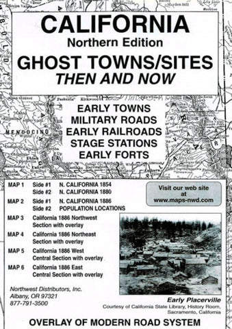
Northern California Ghost Towns/Sites Then and Now (6 maps, 4 overlays) Early roads and trails are shown throughout this section of the state. The two counties of Klamath and Siskiyou are shown on the northern border. Early trails/roads connected Yreka to Trinidad and Eureka. A main road is shown from Sacramento to the Oregon border. Marysville, Red Bluffs and Shasta City were located on this road. Yreka was bypassed several miles to the east. Numerous roads were shown connecting the early town sites in the mother lode region east of Sacramento and Marysville. Ghost sites may be many things; a town site, a stage station, mining camps or a military camp or fort. What is a ghost? It was described by Norman Weis in Ghost towns of the Northwest as a quiet place enhanced through the process of still photography. Lambert Florins description in ths book, Oregon Ghost Towns, was a shadowy semblance of its former self. The reader should be reminded that some of the early place names might
- Product Number: NWD_CA_N_GHOS_2
- Reference Product Number: 2056161M
- ISBN: 9780972044110
- Date of Publication: 6/1/2002
- Folded Size: 9.45 inches high by 6.3 inches wide
- Unfolded (flat) Size: 16.93 inches high by 22.05 inches wide
- Map format: Folded
- Map type: Trade Maps - Historical
- Geographical region: United States
- Geographical subregion: California


