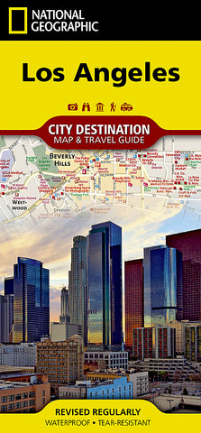
Los Angeles, California Destination Map
This National Geographic city map of Los Angeles includes 3D-style drawings of famous buildings and landmarks for easy orientation and is printed on waterproof, tear-resistant paper. In addition to the easy-to-read map on the front, the back includes a regional map, points of interest, inset maps of downtown Los Angeles, Long Beach, Anaheim, and the Westside, diagrams of Los Angeles and John Wayne (Orange County) airports, and a multi-language legend.
Map Scale = 1:204,000
- Product Number: NG_DM_LOS_AN_22
- Reference Product Number: - None -
- ISBN: 9781597750929
- Date of Publication: 6/1/2022
- Folded Size: 9.45 inches high by 4.33 inches wide
- Unfolded (flat) Size: 24.8 inches high by 17.72 inches wide
- Map format: Folded
- Map type: Trade Maps - City Maps
- Geographical region: United States
- Geographical subregion: California

