
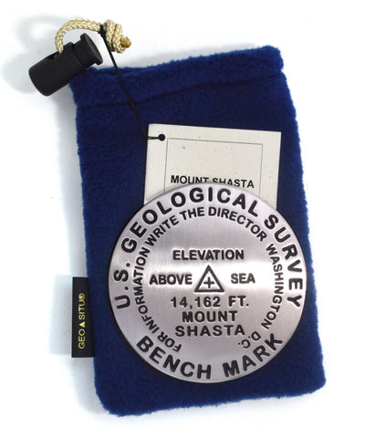
Mt. Shasta, Shasta National Forest, California Benchmark Paperweight
3 1/4 inch diameter
Cast in fine pewter
Felt backing
With soft fleece pouch
In clear-vinyl covered box
PLACE NAME: Mount Shasta
ELEVATION: 14,162 ft. (Elevation from GNIS database.)
COORDINATES: N41° 24 34 W122° 11 38
LOCATION: Shasta National Forest, California, USA
MARKERSLEUTH PHOTO CONTRIBUTOR: No Station Found
Like Mount Rainier to the north, the massive Mount Shasta, was formed by ice and fire and is a volcano at rest. It shoulders 8 magnificent glaciers and dominates the regions landscape. Meadows of wildflowers and groves of Shasta Red Fir characterize its flanks. Abundant in mystic lore, trails, and opportunities for peak experiences, the beloved mountain has something for everyone.
Early explorers and expeditions included: Spanish explorer Fray Narcisco Duran who published the first recorded sighting (1817); the Wilkes expedition who published the first known illustration (1841); Captain John Fremont (1947); and
- Product Number: GSU_PW_SHASTA
- Reference Product Number: 2298655
- ISBN: - None -
- Map format: - None -
- Map type: Accessories - Other Accessories
- Geographical region: United States
- Geographical subregion: California


