
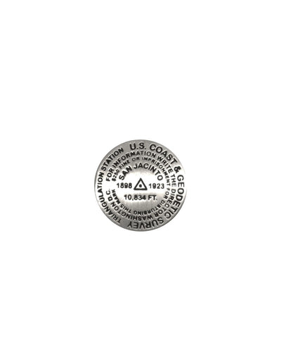
San Jacinto, California lapel pin
1 inch diameter
Cast in fine pewter
Military clutch back
Mounted on story card
PLACE NAME: Mount San Jacinto
ELEVATION: 10,804 ft.
COORDINATES: N33° 48 52 W116° 40 42
LOCATION: Mount San Jacinto State Wilderness, California, USA
MARKERSLEUTH PHOTO CONTRIBUTOR: Andrew Pelz, 1996
Hikers seeking the summit of the highest peak in the Mount San Jacinto State Wilderness area can choose among various strenuous hiking routes, or take the 2.5mile tramway which delivers its passengers to an elevation of 8,000 feet. From there, it is a relatively easy hike to the summit where all are rewarded with a panoramic view. This mark is set in an overhanging solid rock shelf. It is 13 feet SW of the highest point on the summit and is somewhat lower. The newest data puts the summit elevation at 10,834 feet.
- Product Number: GSU_PN_SANJACINTO
- Reference Product Number: 2306033M
- ISBN: - None -
- Map format: - None -
- Map type: Accessories - Pins
- Geographical region: United States
- Geographical subregion: California


