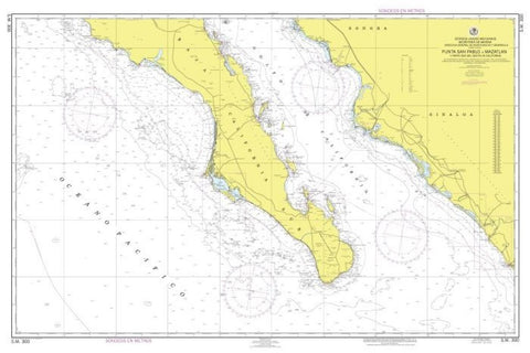
Punta San Pablo a Mazatlan y Parte Sur del Golfo de California by Secretaria de Marina
East View Map Link (EVML) is a certified supplier of Secretaria de Marina (SEM) nautical charts. Our exclusive print-on-demand agreement provides mariners with the highest quality historical approved nautical charts. Our Punta San Pablo A Mazatlan Y Parte Sur Del Golfo De California nautical chart (Map Index 300) is printed standard using high resolution, heavyweight and acid free paper. Additional paper types and format options are available.
- Product Number: 2231422M
- Product Code: SEMAR_300
- Year of Publication: 2006
- Map type: Flat Map
- Geographical region: Mexico

