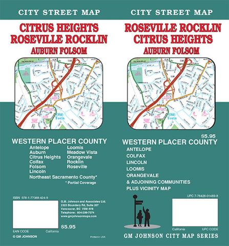
Roseville, Rocklin, Citrus Heights, Auburn and Folsom, California by GM Johnson
Folded street map of Roseville, CA, and surrounding area. Main map covers Citrus Heights, Folso, and Roseville, with insets of downtown Auburn, vicinity, Roseville to Placer County, and Watt Av/Pfe Rd intersection. Reverse shows Auburn continued and extensive index.
- Product Number: 2215771M
- Product Code: GMJ_ROSEVILLE
- ISBN: 9781770684249
- Year of Publication: 2015
- Folded Size: 9.45 x 4.33 inches
- Unfolded Size: 38.58 x 26.38 inches
- Map type: Folded Map
- Geographical region: California

