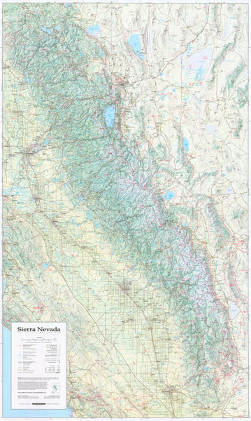
Santa Ana Mountains/ Chino Hills St Park, California by Frankos Maps Ltd.
Detailed topographic relief map showing trails, bikeways and more. Side one shows the Forest Service Roads, trails and singletrack of the Santa Ana Mountains (the Trabuco District of the Cleveland National Forest). It covers from the edge of Chino Hills State Park to Lake Elsinore, & includes a detailed map of Limestone-Whiting Wilderness Park, & ONeill Regional Park. Roads and freeways show routes to the trailheads of the Santa Anas. Side two shows Chino Hills State Park in shaded relief with fire roads and single tracks throughout the park. Printed om durable, waterproof synthetic material. 14 x 21, folded to 4 x 7.
- Product Number: 2050206M
- Product Code: FM_SANTA_ANA
- ISBN: 9781931494007
- Year of Publication: 2011
- Folded Size: 7.09 x 4.33 inches
- Unfolded Size: 13.39 x 20.47 inches
- Map type: Folded Map
- Geographical region: California

